
A Danish surveying firm had been given daunting technical specifications and logistical constraints for an engineering survey of a vital rail corridor. The decision to deploy a Trimble MX9 for mobile mapping not only met but exceeded expectations.
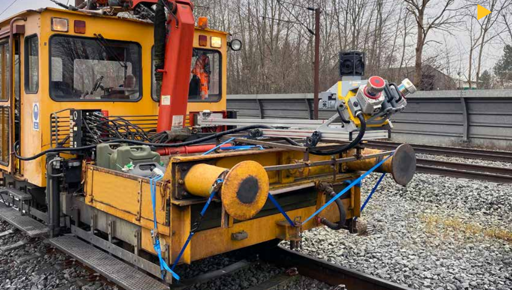
When Anders Nygaard Møller, engineering survey director with LE34, saw the specifications for the Danish OdenseNyborg railway mapping project, he was initially taken aback. The big three constraints—cost, schedule, and precision—seemed aligned against him. The 70km of rail to be surveyed is one of the most vital transportation corridors in the world. How would he perform the survey without significantly impacting rail traffic while keeping the survey crew out of harm’s way, and deliver 1cm precision on all observed points?
Møller looked towards mobile mapping systems; integrated scanning and imaging instruments that move at road or rail speeds to collect rich imaging and/ or point cloud data. “If we were to meet the precision requirement with mobile mapping, we would need break the 1cm barrier,” said Møller. “And as far as we could tell, no one had done before.”
Breaking this barrier was not easy. LE34 used a combination of high-precision instruments, rigorous processing and dense survey control to make it possible.