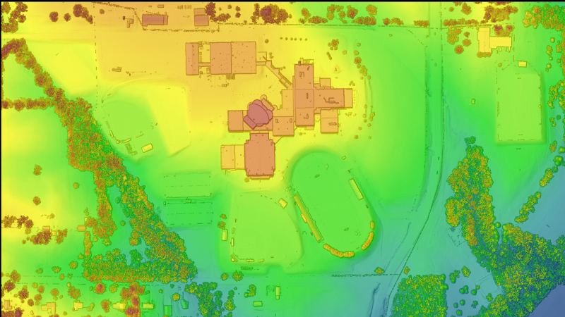
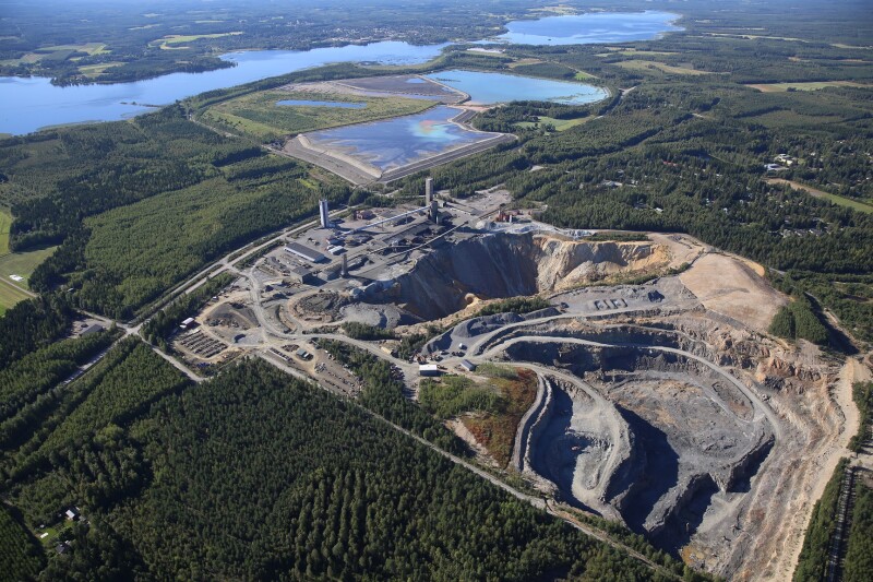
From the editor: Surveying and mapping have been at the core of understanding the built and the natural world for decades. Recent advances in GIS, GNSS, Lidar and other surveying technologies have taken this process from theodolite and chain to almost impossibly precise laser scanning measurements taken from the ground, the air, on moving vehicles and UAVs. We're following the latest in surveying in mapping, and you can read more about some of the latest news on surveying technology here.
Latest News
September 16, 2025

