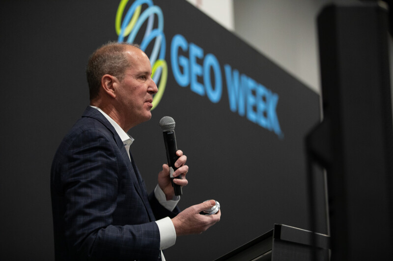
Geo Week is a great place to learn about new products, services, and systems coming on the market. It’s also a great place to learn how those products, services, and systems are making a difference in the real world, helping professionals in a wide range of fields solve problems, save money, and increase accuracy and efficiency.
The “Unique Case Studies” session at Geo Week gave attendees the chance to learn how GIS, lidar, drones, reality capture, and related technologies are being put to use in new and innovative ways. Here’s a look at the presentations.
3D Tree Mapping: A Comparative Analysis of Data Sources
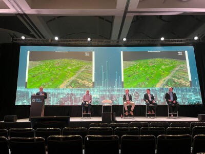
In this presentation, Nick Hubing, president of Land Info, explained how his firm is using internet-based geospatial content to complete complex tree mapping projects. Specifically, he explained how his company is mapping for 5G wireless use cases where trees affect signal strength. Drawing on his mapping experiences, Hubing stated that lidar can be used to provide detailed tree elevation data, even for leaf-off trees. He also explained how satellite imagery offers “global reach and access to restricted airspace for tree mapping” and how “a multi-source approach combines best-in-class data sets for accurate tree mapping.”
Reclaiming Open Pit Mines: A UAS Case Study
The Three Kids Mine near Lake Las Vegas in Nevada has been abandoned since the early 1960s. Since that time, it has been filled with trash, and ground tests have revealed dangerous amounts of contamination. Despite these developments, work has begun on a large residential project on top of the mine, but complex data gathering on the site and a massive clean-up are needed for the work to go forward.
For this case study, Brady Reisch, director – VDC technical services from The LiDAR PROs, LLC, explained how his firm deployed drones equipped with using lidar and photogrammetry to gather information on the mine. Reisch compared drone-derived data with information gathered through more conventional methods to demonstrate the increased accuracy and efficiency realized through sophisticated methods, and he showed how developers realized real value through their deployment of uncrewed technologies.
Integrating GIS, Drones, and GPS at Steamboat Ski Area
Ski areas are complex environments, and their successful operation depends on detailed information about conditions above and below ground, as well as accurate measurements and predictions around weather conditions. For this presentation, Jake Ingle, director of slope maintenance at Colorado’s Steamboat Ski Resort, described how he developed a comprehensive GIS/Drone/GPS program at the Steamboat ski area. He explained how he and his crew deployed drones equipped with lidar to measure snow depth, how they incorporated GPS technology into snowmaking and grooming operations, and how they used a variety of sophisticated data gathering and analysis technologies to successfully manage an international snowboarding competition.


