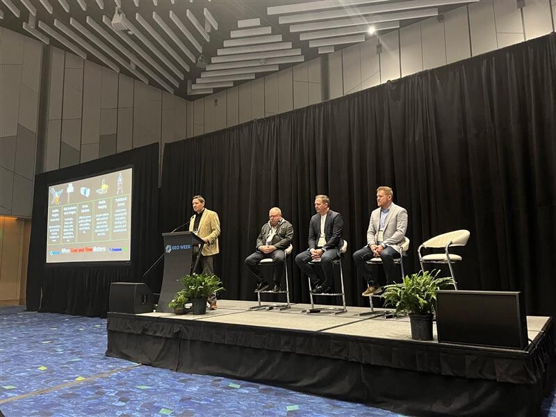
Geo Week is a great place to learn from experts on how to increase efficiency and add value to geospatial-focused projects. For surveyors, the “Elevating Surveying Practices” session offered one of those important learning opportunities.
Moderated by Dan Bellissemo, Director of Lidar and Remote Sensing at GIS Surveyors Inc., the session featured three presenters who provided their unique perspectives on surveying projects and offered their insights into everything from tackling challenges around geospatial data accuracy and consistency to how to select the right sensors, lidar systems, and drones.
Philipp Hummel from CompassData explored the issues around merging data sets to achieve the best results. His talk, “Mastering Large Projects: Combining Surveying, GIS, Lidar, and Free Data,” described a large 110-mile right-of-way survey along the Arkansas Valley Conduit and a small survey of a rockslide in Colorado to illlustrate the many factors involved in surveying with GPS, lidar-based point clouds, photogrammetry, and more. Hummel explained the advantages of drawing on freely available geodata sources from county and state agencies, and he asserted that combining GIS, lidar, and free data was essential for those seeking to master large surveying projects.
Next, Brady Reisch of The LiDAR PROs, LLC. walked attendees through the basics of selecting lidar systems and the uses of UAVs in surveying work. Reisch explained that lidar can offer many benefits, including increased accuracy and reduced “noise,” but he emphasized that “not all lidar is equal.” He reviewed the differences between various lidar systems, and he explored the many advantages of using lidar with UAVs in surveying work. Riesch cautioned that surveyors flying uncrewed vehicles need to understand mission planning, weather conditions, and how to calculate how much accuracy or precision is needed for their project before they get started. Overall, Reisch asserted, surveyors need to understand their specific requirements and match their choices to the appropriate lidar or UAV systems to achieve success.
While Reisch explored the issues around selecting lidar and UAVs, Layton Hobbs, Leica Geosystems, part of Hexagon, detailed the issues around choosing the right imaging system for surveying operations. His talk, “Maximizing the Accuracy of Imaging Systems,” described the progress that has been made in the field of digital airborne imaging systems in recent years. He explained how lens technology has developed to give users more options in mid-format and large-format composite imaging systems and how even more advanced commercial airborne imaging systems are coming on the market – as evidenced by his company’s new line of hybrid mapping systems, including the CityMapper, TerrainMapper, and CountryMapper.


