Surveying is one of the oldest professions on the planet, and we know that it can be used for a variety of use cases. At Geo Week News, a lot of our surveying coverage focuses on how it is used to assist work in creating the built environment, whether it be for buildings, roads, or other pieces of key infrastructure. However, we also know that surveying is frequently used to give us a better understanding of the world around us, be it for our own planning for disaster scenarios or otherwise, or for monitoring the effects of climate change.
Today, we’re going to highlight a few case studies posted on Geo Week News over the last year or so that cover this exact use case. From high up in the mountains to below the water, surveying is being used for helping us better understand many aspects of the world around us.
Find links to the full articles below.
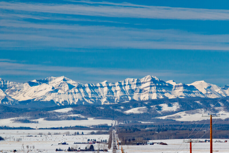
Airborne Lidar: Revolutionizing Snowpack Measurement in Alberta's Eastern Slopes
This article, contributed to Geo Week News by Ada Perello from the European Association of Aerial Surveying Industries, highlights a project led by Dr. Chris Hopkinson of the University of Lethbridge and sponsored by the Government of Alberta, in which airborne lidar was used to measure landcover, snowpack, and water balance on Alberta’s Eastern Slopes. The article dives into the advantages of using this method compared to alternatives like ground-based surveying or satellite imagery.
Inside the biennial survey of Mont Blanc
For this article, Geo Week News spoke with Leica Geosystems’ Farouk Kadded, a surveyor who has taken part in multiple climbs of Mont Blanc, the highest peak in Western Europe. Since 2001, a group of surveyors has ascended the to the summit of the mountain every other year to measure the altitude of the peak and model its ice cap. Kadded spoke with Geo Week News about some of the changes in process to complete this survey compared to 20-plus years ago, and what the results can tell us about climate change.
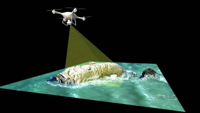
Mapping Riverine and Coastal Environments Using UAV Bathymetric Lidar
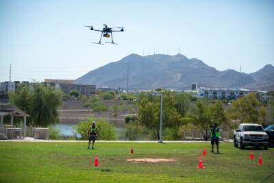
We go from a couple of articles highlighting work being done well above sea level to surveys of coastlines and rivers. This article from Eric van Rees looks at work being done by Whiteout Solutions, a geospatial company based in Vermont. The company has transitioned from projects requiring topographic lidar to topobathymetric lidar, and specifically using UAS to complete these projects. The article looks at how they are completing these projects and some of the pros and cons of using drones for this work.
Solving the Mystery of the Arcouzan Glacier
This article comes to us from Topcon Positioning Systems and once again returns us to the mountains in Europe, this time looking at the Arcouzan glacier in the Pyrenees. As most are aware of, glaciers have been one of the main focuses of climate scientists as environmental changes are leading to melting, but this particular glacier appears to be bucking this trend. This article highlights work being done by a team of surveyors looking to solve the mystery of this glacier.
KyFromAbove is democratizing key data in Kentucky
Finally, we head to the United States to look at work being done in the Commonwealth of Kentucky around aerial surveying data. For this article, Geo Week News spoke with Kent Anness, who serves as the Program Director for the KyFromAbove program. This unique program is run publicly by Kentucky, and has been in existence for over a decade at this point, providing free and open access to key imagery and topographic data throughout Kentucky for any organization to use.