The geospatial industry touches so many different parts of our lives and is so wide-ranging that it can be a challenge to keep up with all of the various subsections. That is why, every other week, we sweep the internet to find some stories that can highlight where things are in the industry today, ideally in a way that touches all different aspects of the sector. Today, that means highlighting a few of the different sub-industries within geospatial. First, we look at an article that traverses the history of lidar and how it’s evolved over the years. Then, we focus more on a specific case study utilizing bathymetric surveying. Finally, we zoom out a bit and look at the state of the surveying industry today.
Find links to the full articles below.
From the Apollo mission to key technology for the industry
Dr. Mathias Müller | All About Industries
When we focus so much on the current developments around lidar – both on the hardware and the software side of the industry – it can be easy to get stuck on the minutia and forget to take the higher level view. It’s valuable to take a step back from time to time and see how far the industry has come to have a better idea as to where it may be heading. In this article, Müller does just that, looking back at the original development of the technology in the 1960s, and the evolution that has resulted in where we are today.
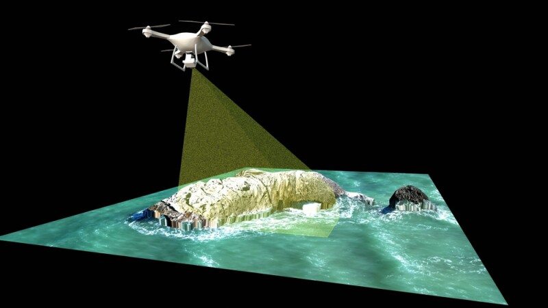
Monitoring the Baltic shoreline using airborne Lidar bathymetry
Grzegorz Szalast & Marta Sieczkiewicz | GIM International
Next up, we move away from the high level and focus on a more specific case study around bathymetric surveying. When we talk about the aforementioned development of lidar, one of the biggest developments in recent history is the advancements around bathymetric lidar, giving us more crucial information about our coastlines. This article highlights this kind of work being done around the coast of the Baltic Sea. The authors discuss some of the specific problems brought on by this particular body of water, and how new technology is helping to overcome these barriers.
Great Time to be a Surveyor
Timothy Burch | xhYt
Finally, we go back to a higher level perspective for our last article of this edition, this time looking at the surveying industry. A lot of talk about this industry these days comes with a bit of a negative tone, focusing on the aging workforce and troubles attracting new talent. This article comes with a breath of fresh air, paired with reasons young people would want to enter the profession. Burch discusses the future of the industry, and why some of the negative discussions around the industry miss the mark.