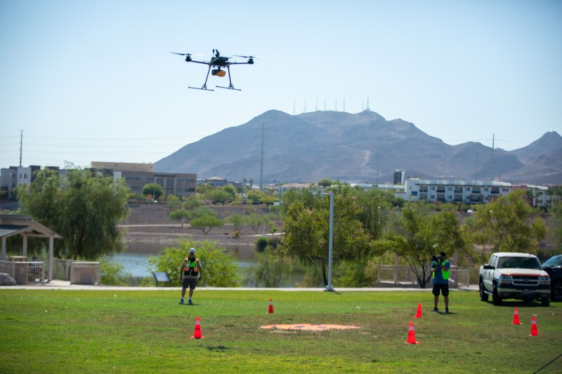
The reality capture, and data collection more broadly, sector has transformed significantly over the last decade or so. As technology has improved and equipment has become easier to use, more industries are taking advantage of these tools in a number of different ways. Among the biggest developments in this space has been the shrinking of sensors to the point where they can be flown with UAVs without having to sacrifice flight time or quality of data.
It’s a development we’ve covered from a number of angles at Geo Week News over the years, and advancements in this space haven’t slowed down at all recently. Below, you can find five recent examples of our coverage around UAVs being used for reality capture and other data collection.
Three Takeaways from the 2024 Commercial UAV Expo
We start with a recent article highlighting our sister event, the Commercial UAV Expo, which was held in Las Vegas, Nevada earlier in September. The event runs the gamut in terms of commercial drone usage, certainly encompassing geospatial and AEC sectors along with other spaces like delivery and public safety, among others. This article looks back at the show from the perspective of a geospatial and/or AEC professional, finding key takeaways for that group. Those takeaways include movement on regulations, the growth around AI and autonomy, and modularity for systems.
The Vision for National Spatial Data Infrastructure, And How Drones Will Play A Big Role
This article looks at a larger trend within the geospatial industry with the upcoming National Spatial Data Infrastructure (NSDI) Strategic Plan for 2035, an initiative from the U.S. Geological Survey (USGS). In the article, Dawn K. Zoldi looks at this issue and provides some of the background for the project as well as key goals. Additionally, she highlights some of the ways that drones will play a major role in the future of surveying and, more specifically, achieving the NSDI goals.
Scandinavian Harbor Surveying with YellowScan’s Topo-bathymetric Lidar System
Digging into more specifics than outlined at the top of this page, one of the biggest developments in drone lidar has been the newfound ability to perform bathymetric surveys with drone-based lidar. To be clear, this doesn’t work under any conditions and really works well to a certain depth, but for projects where it fits it provides greater efficiency – in terms of time and cost – compared to using sonar with a boat or more powerful aerial lidar within a crewed airplane. This article highlights a specific case study using YellowScan’s new topobathymetric lidar system for UAVs and how it was used in a Scandinavian harbor surveying project.
DroneDeploy releases a “State of Reality Capture” report
Now, we zoom out a little bit and look at a report from DroneDeploy about the state of the reality capture industry. As outlined in the article, this isn’t necessarily representative of the wider reality capture sector given that DroneDeploy’s respondents will skew heavily toward drone pilots, it does provide a good snapshot of UAV-related reality capture professionals’ views of the current and future trends to watch in the space.
How Alteia is leveraging NeRFs in inspection workflows
We end with the oldest article in this group – dating back to April of last year – but also arguably the most “future looking.” In this article, we looked at the work of a French company, Alteia, who handles power line and cell tower inspections. For this work, they often fly drones to collect the crucial imagery and lidar data, which then of course needs to be processed on the back end. To help speed up this work, they’ve experimented with Neural Radiance Fields, or NeRFs. They acknowledged at the time that the technology was still really only useful in specific use cases – for them, that meant vertical structures – but that it showed real potential.


