Recently, we posted a blog for National Surveyors Week in which we talked about the role of surveyors in our modern society, providing increasingly important value that often goes unnoticed by the general public. We made an analogy back to sports, where referees and umpires are generally unnoticed right up until the point they mess up; the same can be said of surveyors, whose work is typically taken for granted until a mistake is made.
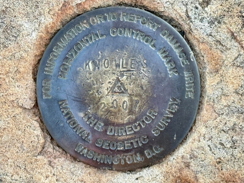
We can go even deeper than that, though, and point to the National Geodetic Survey (NGS), whose place within the geospatial industry can often be overlooked and underappreciated. With the growing importance of the geospatial industry for professionals in the industry and almost everyone outside of it as well, it’s worth taking some time to bring that value out to the forefront so it’s not forgotten.
Part of the reason NGS can fall into the background at times is that it’s not a standalone agency, instead being part of the National Oceanic and Atmospheric Administration, or NOAA. Going back into the nation’s history, though, NGS was the first civilian scientific agency, originally created by Thomas Jefferson in the early 1800s as the Survey of the Coast. First formed to survey the Atlantic coastline and create nautical charts, it ultimately was tasked with interior surveys as the nation expanded westward, serving as the U.S. Coast and Geodetic Survey until 1970, when it joined the newly formed NOAA.

Talking to people around the industry over the years of covering this industry, there’s a common thread of response when talking about NGS: The work they do is the kind that buoys the entire industry in such a way that no one really notices. But if that work went away, it would be noticed immediately. Recently, Geo Week News spoke with a number of industry professionals to talk about this under-the-radar value, and what would theoretically happen if the capacity of NGS were either reduced or completely removed, particularly in the context of their nearly completed work in modernizing our National Spatial Reference System (NSRS).
The Growing Importance of Precise Positioning
One of the big themes of all of our conversations was that now, more than ever, our society depends on accurate positioning. Nearly everyone has a smartphone in their pocket at this point, and so much of what we do on a day-to-day basis today is reliant on accurate positioning. Our phones are able to derive some sense of positioning based on GPS, but those coordinates need to be referenced to a defined system, which is managed by NGS. The level of precision necessary is, of course, dependent on the ultimate application, but for everyone, it is increasingly necessary to have this reference system.
This is something that Yehuda Bock, a researcher and lecturer at the University of California-San Diego and director at Scripps Orbit and Permanent Array Center, spoke about in a conversation with Geo Week News.
“This NSRS is very necessary for the nation anyway you look at it – for us in academics, for the private sector, for government, from the local level on up – because it provides a common reference frame for people who want precise geospatial information. And that’s only becoming more important now that even cell phones are able to provide higher precision for users. They have to position with respect to something.” He’d later continue, “I can’t think of any real application that doesn’t depend on a reference frame, if you’re talking about precise geospatial applications.”
In terms of specific applications that can affect even those outside of the industry, Chris Parrish, a professor at Oregon State University, told Geo Week News about a use case of these reference systems around permitting. He notes that the Parks and Recreation department in the state of Oregon manages the coasts and one of their responsibilities is permitting any built structure around the coastal region of the state. There are major financial consequences to these decisions that are largely based upon the reference systems created by NGS, and the upgrade to the NSRS is particularly important for this kind of bathymetric and coastal mapping.
Driving the Future of Autonomous Systems
As we look ahead to the future of many industries, autonomy is expected to be a driver of greater efficiency and, ultimately, greater profits. However, whether the people involved in these industries are aware or not, precise positioning and a reference system that can keep this positioning precise and consistent are crucial. Whether it’s on the consumer side with autonomous vehicles and, as already exists in some locations around the nation, autonomous taxi services, or in industrial settings for precise agriculture or autonomous machines on construction sites, this positioning is the heart of these technologies.
This is something to which Michael Olsen can attest. A professor with Oregon State University’s College of Engineering, Olsen told Geo Week News about the potential effects of a watered-down NGS and/or NSRS on these autonomous systems. If working correctly, the systems will serve to improve efficiency and profitability, but errors could ultimately have the opposite effect.
“In the future, autonomous systems will require that higher precision and higher accuracy. We’ll be having more issues and change orders in construction if we can’t leverage automated machine control and guidance. And those systems don’t have that tolerance for error. A person can look at a mistake and say, Well, that’s not right. I’ll fix that in the field. We can alleviate it. When you start talking about a machine, the machine is going to go and do it, and it’s going to be built before you realize it’s not right. Then you have to tear it out and fix it.”
He also noted the importance of the coordination that NGS does, specifically between states. We’ll have a bit more on that below, but in terms of autonomous vehicles, having that consistency nationally is crucial. Theoretically, even a small difference in reference systems between states could lead to a vehicle shifting lanes unexpectedly when crossing state lines.

“Of course, there are sensors and things on the autonomous systems that would hopefully be able to recognize something is wrong, but that’s still something that’s adding conflicting information. You want to minimize that as much as possible.”
Housing Crucial Data
Beyond the reference system provided by NGS, the agency also collects and houses troves of data that are crucial to the geospatial industry. Jeffrey Freymueller, a professor at Michigan State University, told Geo Week News about how important this data is. In fact, he told a recent story about his need for antenna calibration for his research, and NOAA’s antenna calibration page is the best database for this type of work. He temporarily was not able to access this data, and while he was eventually able to get to the page, it was a stark reminder of how important some of these services are that can often be taken for granted.
Freymueller mentioned a couple of other data sources that would not be able to be replaced if it were to, for any reason, be removed or lost.
“[If NGS were to go away], there would be data loss that you could not replace. I mean, the gravity observation database across the United States, the cost of redoing that right now would probably be billions of dollars. And that’s if you could do it, because you’d have to start by training a whole cadre of people to do it, which we don’t have. The historical leveling observations, we don’t have enough people – or even enough people to train enough people – to replicate those observations.”
Maintaining State-to-State Consistency
Finally, perhaps the most important “hidden” value that is provided by NGS, and is ultimately one of the major functions of the NSRS, is maintaining consistency in coordinate systems between different locations, something that was brought up by everyone we spoke to about the agency. The CORS stations around the United States that provide the backbone to most of the geospatial work being done are largely not owned by NGS; they own some of them, but more often they’re owned by the respective states.

However, the processing that makes the real-time networks for surveyors in the field is done by NGS, and that keeps the quality and precision consistent from state to state. Without this intervention, these processes and networks would either be left to states or would be privatized, both of which could significantly disrupt the way surveyors and other geospatial professionals do work.
In regard to the hypothetical where these GPS networks are privatized, Freymueller believes it would be nearly impossible to maintain consistency. “If you didn’t have the coordinates’ basis provided by NGS, there’s almost no chance I would get the same answer by competing private systems. If my surveyor surveys a property line with Joe’s network, and yours does it with Tom’s network, and they give a different answer, what are we going to do? We’re going to end up in court.”
Perhaps it’s more likely that this responsibility would move to the states, but even that leads to plenty of issues and inconsistencies. We mentioned an admittedly worst-case scenario above with the autonomous vehicle shifting lanes, but the inconsistencies would have real effects for geospatial professionals, particularly in states with less infrastructure already in place.
Demián Gómez, an assistant professor at The Ohio State University, told Geo Week News that states like California may be able to do the processing to maintain precise coordinates, but most states wouldn’t. In turn, any time a professional has to go from one set of coordinates to another, inconsistencies pop up, and inevitably, major problems could occur from there. It’s not just theoretical, either, as Gómez noted this exact problem occurred in Argentina.
“This problem was a big issue for almost two decades in Argentina. Each province was doing whatever they wanted in terms of coordinates, and then when you change from one province to another, it was a huge mess to try to match coordinates, even for cadaster purposes.”
Ultimately, Gómez notes, the nation recognized the need for a unified system under one national agency, leading to the creation of the National Geographic Institute in Argentina.
For an agency like NGS and many other public entities like it across all industries, whose core purpose is to coordinate and work in the background supporting sectors, there’s a bit of a conundrum that arises. When everything is working as it’s supposed to, the support and coordination are nearly invisible, and people don’t even have to think about the mechanics of every piece of their workflow. However, this invisibility can lead to that work being underappreciated, which in turn puts it in danger of seeming unnecessary. For the geospatial industry in the U.S., it’s vital that it never gets to that point with NGS, lest the entire industry be turned on its head.


