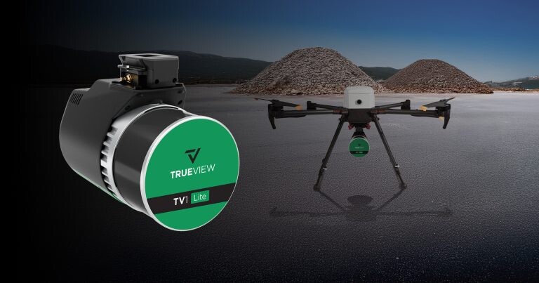
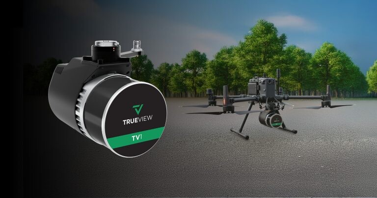
Lidar mapping tech provider GeoCue announced two new sensors: the TV1 and TV1 Lite. Both sensors form a new “starter line”, complementing its 500 systems product line, and high-end, NDAA-compliant 600 series. With the release of these two new sensors, GeoCue fills the gap for affordably-priced survey-grade sensors, a growing market segment. Both sensors are fully integrated lidar and camera mapping systems and extend GeoCue’s TrueView product line of professional-grade geomatics sensors. The sensors were announced this past February at Geo Week 2025 in Denver, Colorado.
TV1 Lite Sensor
The TV1 Lite weighs 1.4kg and captures 640,000 points in a single return, using a Hesai XT-32 dual return laser scanner, and a FLIR 5MP Global Shutter Camera with a 90-degree field of view (FOV). The camera is primarily used for colorization, but ortho mosaic mapping is also an option.
The TrueView 1 Lite comes with a full year of TV1 Lite Annual Processing, including comprehensive support and maintenance. This includes the essential tools to export lidar data, ensuring professional .las file creation with GeoCue’s LP360 point cloud imaging data processing software.
After the first year, users have to renew to keep receiving processing, updates, and dedicated support. This package is slightly different than traditional GeoCue packages that were all-inclusive in terms of software, hardware, and annual maintenance. With TV 1 Lite Annual Processing, users can bring the raw data from the scanner, do the PPK processing, get the trajectory, and from there move the data to a software package of their choice for the point clouds processing.

GeoCue provides TV1 Lite mounting kits for the Inspired Flight IF800 and the Free Fly Astro Max at no additional costs, as the required technology is already integrated into the drone platform. Drones that need an extra antenna and hardware to support the TV1 lite are the DJI M400/M350, the WISPR Ranger Pro, and the WISPR Sky Scout. It also provides software add-ons for users who don’t have parts of their workflow already incorporated, such as LP360 Drone, 3D Accuracy, Strip Align for Drone, and LP360 Cloud.
TV1 Sensor
The TV1 has the same scanning specifications but offers customizable options with a choice of a 26 MP, 45 MP, or 61 MP camera. Next, there are two Trajectory Correction Service options: the Single-Base processing option for PPK, or the Complete/No Base Station processing option, with Trimble PR-RTX unlimited trajectory processing, removing potential errors associated with using a Base Station.
The three camera options offer a choice between “good,” “better,” and “best resolution.” With the TV1, users can select the Trajectory Correction Service that best suits their needs project’s requirements and budget. The Single-Base processing option is ideal for PPK processing with access to a base station setup. In contrast, the No Base Station option gives access to a virtual correction service to process the trajectory and streamline the process.
Included in the TV1’s annual plan is LP360 Drone software processing, along with ongoing maintenance and support. This is the core product for a drone geospatial data workflow, with visualization, QA/QC, classification, 3D editing, and analysis capabilities. Included features are multi-flight import and processing, a GIS interface for combining drone data with other geospatial data, and point cloud visualization with multiple and synchronized windows.


