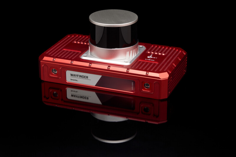
Middleton Stoney, United Kingdom - OxTS is extremely proud to launch WayFinder, a complete localization solution for any environment, even GNSS-denied spaces. Functioning out of the box with no need for additional hardware, WayFinder uses a new, unique software called LiDAR Boost to provide accurate localization both in, and between, any environment. WayFinder opens up new possibilities in autonomous navigation, georeferencing, and ground truthing.
WayFinder uses OxTS inertial navigation technology and two survey-grade GNSS receivers for accurate localization under open skies. In environments where GNSS signal is weaker or even completely blocked, the integrated lidar scanner and cameras provide accurate location data using LiDAR Boost.
LiDAR Boost is a set of advanced algorithms that use data from WayFinder’s integrated lidar to compensate for missing or erroneous GNSS data, in real time. It enables high-accuracy localization in challenging GNSS conditions without the need for installed infrastructure or more expensive, Fibre Optic or Ring Laser inertial units.
WayFinder combines inertial navigation, GNSS, and LiDAR Boost to provide accurate localization in any environment, and to provide seamless localization when transitioning between GNSS and GNSS-denied areas.
“WayFinder is one of the most technologically exciting products we’ve produced in recent years,” says Paris Austin, Head of Product at OxTS. “Anyone who has attempted sensor fusion before will know how complex it can be; the fact that WayFinder and LiDAR Boost take all that pain away from a project is something that I think many engineers will be very happy about.”
WayFinder has potential to add value to any land-based activity that requires accurate localization data in challenging environments. Automotive testers can use it to create an indoor testing solution that doesn’t rely on infrastructure, while surveyors can use it to georeference survey data gathered in cities, indoors, or underground.
Possibly the most exciting area for WayFinder is in autonomous navigation. With a ROS2 driver available through OxTS and a range of connectivity options to integrate it into your control stack, WayFinder can become a complete localization module for your autonomous platform with minimal effort.
Alison Smith, OxTS CEO, says:
“Our customers are trying to push the boundaries of what’s possible with localization technology, and in some cases are making real strides in creating a safer, better world for people. WayFinder will help them continue innovating and working towards that better world by making GNSS-denied localization achievable, effective, and more affordable than ever before.”
WayFinder is available direct from OxTS or through our channel partners. To learn more about how it works, visit our website – or contact your inertial navigation solutions provider.
Source: Press Release