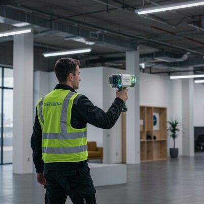
Flexibility was the primary goal when the surveying engineers behind Slovakian-based company Geotech decided to develop a 3D mobile laser scanning system. Five years later, Geotech’s Lidaretto platform is being employed for an array of field applications for capturing precise 3D point clouds, sparked by a recent increase in drone-based lidar jobs.
Geotech is a provider of lidar technology. The company originated in the year 1994 and started as a local, Slovakian reseller and service center of Leica Geosystems. But acknowledging the growing need for lidar technology and tools for the surveying market, they decided to develop their own multiplatform lidar system in 2014.
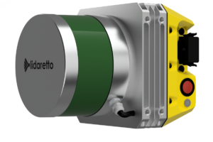 The company’s aim to produce a compact, lightweight, multiplatform and cost-effective 3D mobile scanning system for non-professionals resulted in the Lidaretto device, that combines hardware components from well-known lidar technology providers such as Velodyne and Novatel. Lidaretto’s lidar module comes from Velodyne, that offers a measuring range between 100-200 mm using 16 or 32 channels. For positioning, Lidaretto uses a Novatel OEM7 GNSS receiver, with an accuracy of 1-2 cm. Using technology from established vendors also has the added benefit that future releases from both vendors can be integrated easily into the Lidaretto system.
Additionally, an in-house developed processing unit provides synchronization, processing and data storage of both data sources inside the body of the Lidaretto system. Geotech developed its own integrated software inside the Lidaretto unit, that is used for remote control of data logging and download. For the desktop, Lideretto Creator enables generation of point clouds, by combining scan data and post-processed GNSS/IMU trajectory. The resulting georeferenced point clouds can be processed by a third-party software of choice, depending on the user’s application.
A lidar system for maximum flexibility
Geotech’s lidar platform is a little different than that of other lidar system providers, being a single platform used for multiple applications rather than a single system for multiple specific applications. Erik Frohmann, director of sales at Geotech, explains why flexibility was the primary goal for developing the system.
“Because field conditions are different for every job, the client has to decide which approach is the right one. Therefore, a tool that allows for flexibility is the best one, so that on-site you can decide to mount the lidar system on a drone, car or backpack. Also, a flexible tool means you have to invest in a system only once, so there’s a cost benefit for the user.”
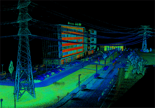
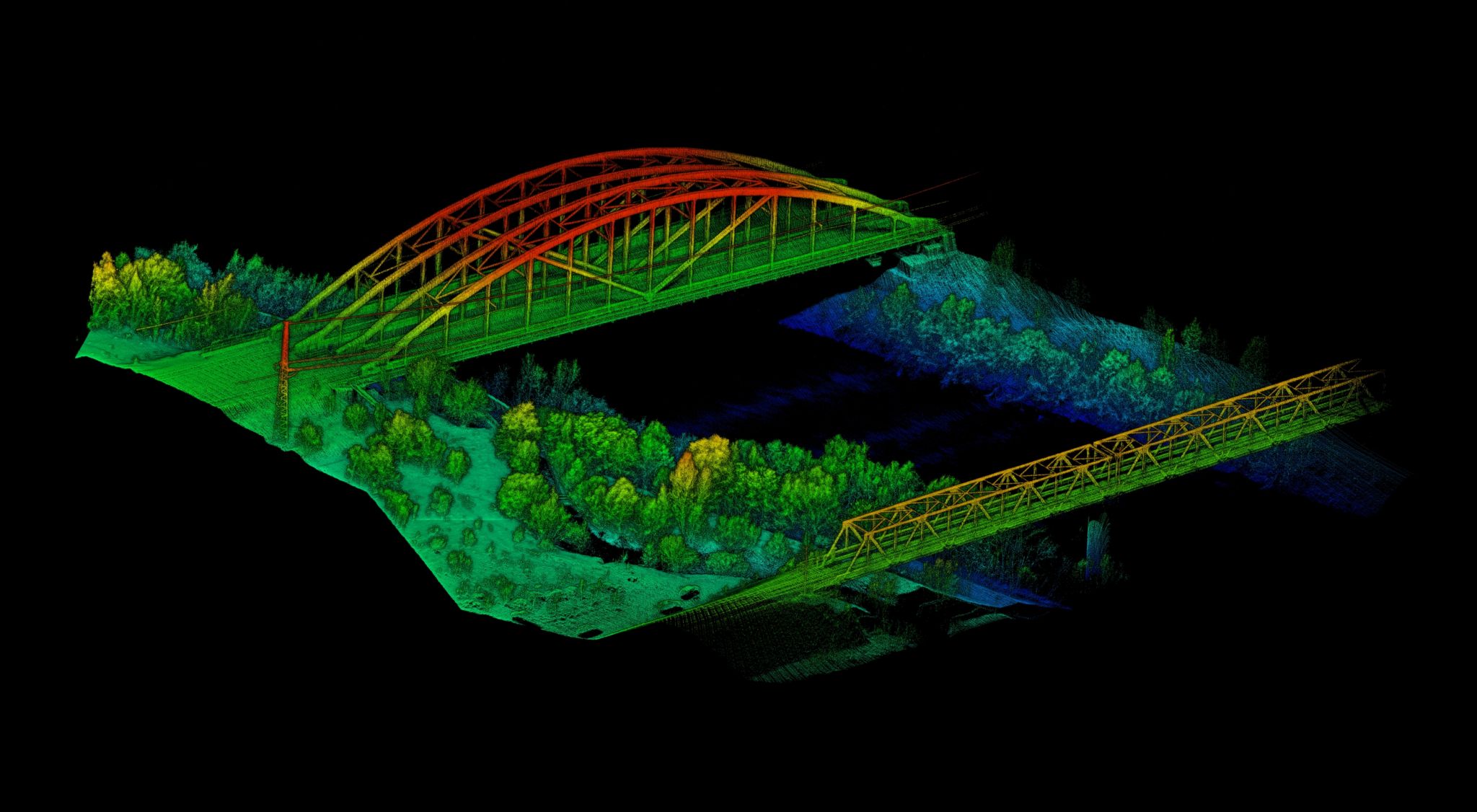
In combination with a custom-made mounting systems for car, drone or backpack, the Lidaretto device is suitable for various field applications, such as bridge reconstructions with a drone, car-based street mapping, powerline inspections and agriculture land mapping. Additionally, combined with a drone, the system is suitable for field applications such as forestry, GIS data collection, environmental assessment, mining and quarrying.
UAV-based lidar
The biggest interest in the Lidaretto solution comes from the UAV industry, says Frohman. Whereas traditional surveyors were slow in recognizing the benefits of UAV for 3D data capture, young and progressive companies are capable of doing surveying grade jobs using both photogrammetry and lidar combined with UAV. Most clients of Geotech already own a UAV, which is why the Lidaretto device comes with a mounting kit for the most popular UAV models in the market. Lidaretto is a fully autonomous device that comes with all positioning technology inside, so it does not need to be interfaced with any electronic system on the UAV.
The latest addition the Lidaretto system is a new IMU. A higher-performance IMU means an overall higher accuracy over longer distances. For drone users, this means that data capturecan take place at higher altitudes for achieving the required point cloud accuracy, says Frohmann.
“For computation of the points inside a point cloud, an IMU is probably the most important component that affects the overall accuracy. Novatel offers a full range of IMUs that can be combined with its GNSS board, enabling us to offer various grades of INS systems within Lidaretto. The recently announced IMU is a perfect fit for our platform due to its size, weight and performance.”


