Gaussian Splatting is a technology that allows for rendering photorealistic 3D scenes in real time. Because of its fast rendering capabilities, it now complements reality-based capture - both photogrammetry and laser scanning - by representing complex 3D scenes quickly and efficiently.
Such 3D scenes will not replace the models generated from processed 3D point clouds captured with 3D laser scanners or generated from photogrammetric workflows since Gaussian Splats do not have the (sub-) centimeter accuracy required for survey-grade applications. However, they are beneficial for applications such as forensics, on-site inspections, and engineering comparisons.
Lixel L2 Handheld Scanner Release
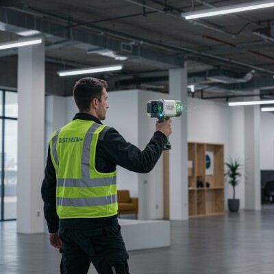
Earlier this year, XGRIDS released the Lixel L2 handheld lidar scanner. The Lixel L2 employs a rotating lidar module with options for 16 or 32 channels, capable of capturing up to 640,000 points per second while offering a scanning range of 0.5 to 300 meters. Three color cameras capture high-resolution images, which are integrated with the lidar data to produce true-color point clouds. A high-precision IMU provides accurate orientation and positioning data, while a proprietary multi-SLAM algorithm enhances adaptability and reliability in challenging environments.
What makes it special is that it uses both cameras and scanners to create real-time, colored point cloud models by fusing sensor and location data with Gaussian Splatting. This is a different approach than standard photogrammetry and laser scanning capturing data in the field, after which it is post-processed in the office.
Constructing a Coherent and Accurate 3D Representation in Real-Time
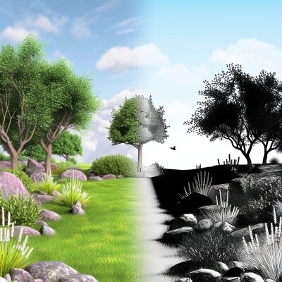
Instead of directly rendering a raw point cloud, the system converts each point into a Gaussian distribution, or what is known as a "splat". Many different splats are blended to form a continuous surface representation. By smoothing out gaps and noise in the raw point cloud, a cohesive and visually realistic 3D model is obtained. This process is integrated into the device’s multi-SLAM algorithm, which processes inputs from the lidar, cameras, and IMU to construct a coherent and accurate 3D representation in real-time.
In an online webinar discussing the scanner, Sunny Liao from XGRIDS explains that the multi-SLAM algorithm is what makes all the difference in aligning all the data. The on-device processed scan and photogrammetric data are used to train the Gaussian Splat - the better the training data, the better the resulting 3D rendering. This enables rendering larger scenes, making it a more scalable solution.
In the coming time, Liao expects that other OEMs and manufacturers will adopt the combined scanning and camera methodology as applied by XGRIDS, as many scanners already have cameras. The only difference is that these may not be integrated to the point where they need to be for it to work well.


