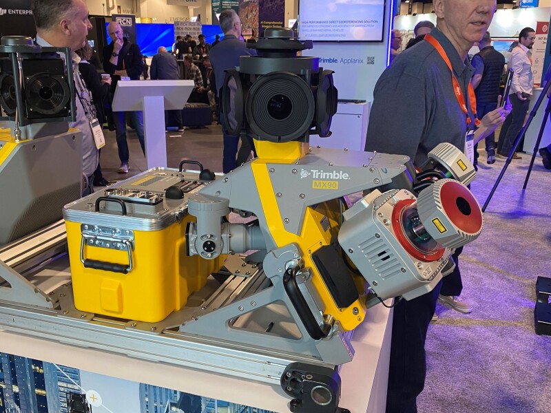
We mentioned yesterday that one of the biggest takeaways from Geo Week 2024 was the emphasis on mobile mapping, with the technology taking center stage in a number of different ways. One of the biggest presences on the Geo Week show floor every year is Trimble, and they were also part of the mobile mapping theme throughout the week, having released their new MX90 mobile mapping scanner during the event.
To learn more about the MX90 as well as some of the other releases from Trimble since Geo Week 2023, Geo Week News caught up with Jason Hayes, Trimble’s market manager for 3D laser scanning solutions, on the show floor during this year’s event.
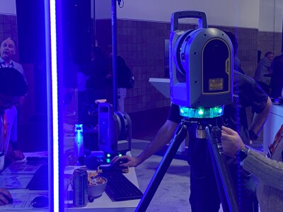
Prior to getting into the new MX90 system, Hayes – who has been working with Trimble for over a decade managing both software and hardware in the reality capture and 3D scanning space – spoke a bit about the X9 laser scanner. The terrestrial scanner was released in early summer of last year and joins the X7 and X12, providing a middle option in the tripod scanning space for Trimble. Ease of use is a big piece to the X9, with Hayes saying, “Just about anybody can pick up and use it and get really good results.”
He also pointed to the big piece of being able to check registration as workflows go. Traditionally, there may be instances where you can’t scan part of a site at the moment, and if you forget to go back and capture that you won’t know until you’re back in the office. The real-time registration helps mitigate those instances. Hays also noted that while the X7 had a “special mode” to capture tough-to-scan areas that are, say, particularly black or shiny, the X9 has that built right in.
Overally, he says, “It’s kind of twice everything. It’s double the speed, coming in at a million points per second. The range of the X7 was 80 meters, while the X9 takes you out to 150 meters, and the data is cleaner.”

As for the newer release, Hayes also spoke a bit to the MX90, which is Trimble’s third vehicle-mounted mobile mapping system, joining the MX50 and the MX7. The newest iteration of the scanner is the most powerful of the bunch, designed for larger scale projects than the MX50 and MX7. The system has two built-in laser scanners while boasting new, high-end IMU, 360-degree panoramic and targeted cameras, and high-density colorized point clouds.
Hayes said, “You’re going to pick up on bigger projects [with the MX90]. It’s capturing more scanlines per second [compared to previous models] so that you can drive a little bit faster, and you’re getting more density with better range.”
In addition to the newest hardware Trimble had on display at their booth this year, Hayes also made sure to note the strides made on the software side as well, which can often be just as important as the hardware. He spoke to Geo Week News about the latest with SiteVision, which allows you to overlay models over the real world environment using augmented reality. He said the newest additions to this product included added support for Apple devices that feature lidar scanners as well as more connectivity.
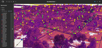
“You can take data now, go to Trimble Connect, and put that data there, or you can bring that data down into Trimble Business Center, and connect back and forth there.”
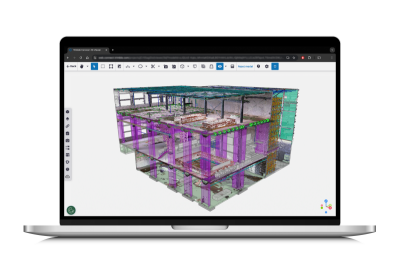
Looking more broadly at advances across software, it’s clear that AI plays a big role here. The AI boom is the biggest story across the tech world, and while the geospatial space doesn’t use quite as much of the generative AI that has permeated the mainstream discourse, artificial intelligence in general is massively important and only getting better. Hayes points to the improved feature extraction as an example of that, and it’s something for which Trimble continues to roll out new features, including some that are customizable.
“Trimble Business Center has the ability now to go in and start training your AI looking for the features that maybe aren’t built in by default, but that you’re extracting in your projects.”
You can learn more about these feature extraction workflows here.


