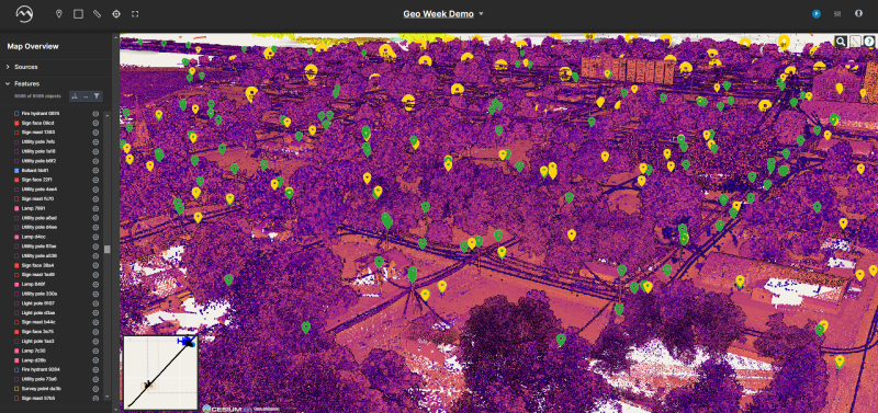
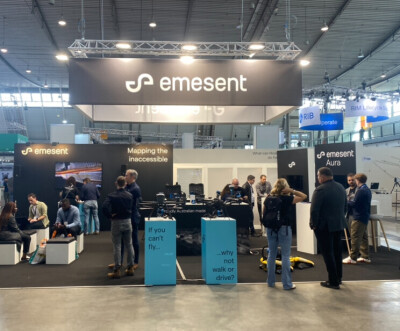
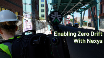
Since the start of the new year, and really dating back through the second half of the last year, there’s been an interesting trend with mobile mapping making large strides and becoming more of a focus than ever before. While it’s not a new technology, improvements around everything from the lidar sensors themselves and the algorithms that allow for things like real-time geo-referencing and SLAM algorithms have enabled better systems and more powerful use cases. At the same time, these systems have become prevalent enough that their accessibility continues to increase, allowing different levels of users to take advantage of this growing space.
With these trends fully underway, it’s no surprise that looking back at the recent archives of Geo Week News shows a plethora of content around this, ranging from hardware to software to tests of a variety of the latest scanners on the market. Below is just a taste of what we’ve seen around the mobile mapping space over the last few months.
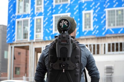
Exyn unveils Nexys, a new modular 3D mapping solution
Early last month, Exyn Technology unveiled their latest product and an exciting one for the mobile scanning space. The Exyn Nexys is a perfect example of the ways advancements on the hardware side are opening up new possibilities for the space, with their newest product being a modular one ready to be used as a handheld or attached to anything from a drone to a ground robot to a vehicle to a backpack.
Trimble shows off new scanning systems at Geo Week 2024
While on the floor at Geo Week 2024 in Denver last month, mobile mapping systems held down a large presence, with example scattered throughout the exhibit hall floor. One example of this was at the Trimble booth, where they prominently displayed their new MX90 mobile mapping scanner, which was released during the event. Jason Hayes, a market manager for 3D laser scanning solutions with Trimble, spoke with Geo Week News during the event to highlight some their latest technology.
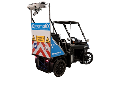
Bringing road surveying technology to bike lanes and sidewalks
A lot of the improvements around the mobile mapping space has been around expanding systems’ versatility, but here we have an example of enhancing capabilities for a specific marketplace. XenomatiX specializes in road inspections with mobile lidar systems that are meant to be mounted to vehicles and capture road data while driving. Recently, they unveiled the XenoBike, which is the same system mounted to an electric bike that can drive in bike lines to inspect those and sidewalks. The company held a webinar with Geo Week News, which was recapped here.
Mach9 wants to create maps 30 times faster than previous standards
Most of this round-up is focused on the hardware side, but everyone who works in this space knows that the software is just as important, as the collected data doesn’t do much if you can’t properly process and analyze it. That’s where Mach9 comes in with their new Digital Surveyor product. CEO Alexander Baikovitz spoke to Geo Week News about the company’s background and why they developed a product for processing data captured through mobile mapping workflows.
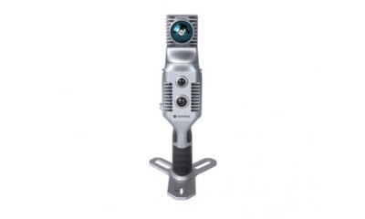
USIBD tests multiple mobile scanning systems at Geo Week 2024
Heading back to Geo Week 2024, one of the most interesting sessions of the event was put on by the United States Institute of Building Documentation (USIBD). After testing a variety of terrestrial scanning systems at Geo Week 2023, the organization came back this year – after receiving feedback at the TLS-based session – with the idea of testing mobile systems. In this session, they highlighted some of the preliminary results they found from the tests, teased a report coming out later this year to more fully dive into these results, and listened to direct feedback from the community in attendance.
Stonex launches X70GO mobile mapping solution
Here we end with another new system, and the newest of the bunch. The X70Go is what manufacturer Stonex refers to as a “hybrid” mobile mapping solution, combining mobile scanning with a stationary mode. The scanner includes a variety of systems and comes with two pieces of software for real-time result viewing and post-processing capabilities.


