
During the Esri UC in San Diego, an invitation-only event covered the growing partnership between Esri and Autodesk. Both companies announced to build a bridge between BIM and GIS mapping technologies in 2017. Since then, a roadmap was presented with near-term workflow enhancements, and Esri added Revit support in ArcGIS Pro. GeoBIM, a software product that links GIS and BIM systems and workflows, was released in 2021.
Present at the event in San Diego were Esri President Jack Dangermond, Autodesk President Andrew Anagnost, and Adam Horn, Civil Integrated Solutions Section Leader at AEC company HNTB. All three took questions from the audience, covering topics such as the impact of AI on both CAD and GIS, achievements since announcing a strategic alliance, ongoing interoperability between CAD and GIS, and more.
Achievements
When asked to discuss the achievements of the strategic alliance so far, Anagnost mentioned that the partnership itself is unusual in the industry as both are now dependent on each other after integrating core capabilities into their software. This technical integration could not exist without a high level of trust between both companies.
Dangermond described the result of strategic alliance as a “system of systems” that was designed to enable both CAD and GIS to work together at a deep level. That customers are benefitting from this was evidenced in multiple presentations, where Esri customers from different sectors showed new workflows as a result of the interoperability between both technologies.
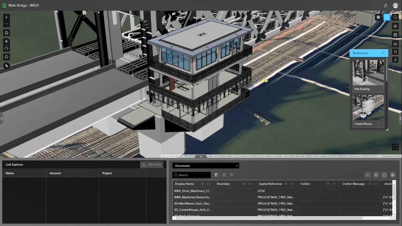
Another practical example of that was given by Horn, who stated that CAD, BIM, and GIS technology and data were separate entities. CAD/BIM integration provided a technology environment for an integrated infrastructure framework at HNTB, enabling a planning and design experience for large long-term infrastructure projects.
The technology also calls for highly collaborative teams and a rapid iterative agile approach during design.
The foundational work for CAD/GIS integration has been done through product, file-level and database-level integration. The next step is to create specific workflows that deliver specific value for different customers. Without being specific, Anagnost expects suggestions from end users to follow after introducing some of these news workflows to customers.
Dangermond added that there’s now a healthy engineering collaboration between both companies and that Esri customers are adopting the Autodesk cloud strategy, and coming up with ideas for product engineers. One result of this engineering collaboration is that AutoCAD is now a full-fledged certified secure client to ArcGIS, which also meant Autodesk had to retire a whole product set.
Moving forward, the partnership means relationships have been established at the management, business, and technical levels. What binds both companies is a shared vision about the future to change the built ecosystem. On the other hands, there are debates about trade-offs and roadmaps between both companies, which Anagnost describes as “honest conversations about what is and is not possible”.
The meeting ended with a discussion following the question of where AI will bring the most value. Anagnost expects AI to automate and speed up design processes by teaching a model to understand how to create drawings and something like the building information paradigm. Another area where AI will have a lot of impact is the user interface, so the way people interact with a computer. At the same time, a human being needs to be in control of the ultimate output. The implementation of AI in design will take some time and different AI models will be deployed into different customer-specific environments.
On the GIS side of things, AI will make users more productive when collecting data. Existing examples are automated feature extraction models or automated change detection. Internally, large language models help customers quicker in tech support and provide accurate responses by querying historical logs. There are examples of Esri customers connecting with citizens talking to a governmental GIS and returning the right data.