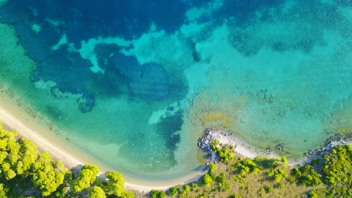
 Accurate bathymetry, the measurement of water depths in oceans, seas, lakes, and rivers, holds profound importance in understanding and harnessing Earth's aquatic environments. The significance of precise bathymetric data traces back to the early days of navigation when mariners relied on rudimentary tools like lead lines and sounding poles to gauge water depths. Today, in an era marked by advanced technology and scientific exploration, the importance of accurate bathymetry remains paramount. It underpins a wide array of critical applications, from safe navigation for shipping and the exploration of underwater ecosystems to the assessment of sea level rise and the mapping of submerged geological features. This evolution from primitive measurements to cutting-edge technology underscores the enduring value of bathymetry in shaping our understanding of the world's vast aquatic realms.
Thankfully, the evolution of this technology has never been quicker - and our ability to understand coastal environments is improving all the time. From the development of lidar sensors that can penetrate murkier waters, to the ability to utilize UAVs and other autonomous platforms to measure bathymetry, we are entering a golden age of bathymetry.
In a recent Geo Week report, six experts from leading companies focused on bathymetry data collection shared their excitement around the newest developments, and discussed what is now possible with these new capacities as technologies develop. Experts from Woolpert, Teledyne Geospatial, RIEGL, Hexagon, Dewberry, and NV5 Geospatial all contributed their analysis to form a comprehensive snapshot of the state of the industry.
Here’s a preview of some of the things they’ve called out as particularly innovative:
“Perhaps the greatest technological advances have come in the areas of miniaturization, making components smaller and more energy efficient and in computer waveform processing. These innovations have permitted firms, like RIEGL, to construct topobathymetric sensors small and sufficiently energy frugal to be fit onto smaller aerial platforms, such as small helicopters and UAVs. This innovation allows bathymetric mapping on smaller inlets, tree-covered riverine habitats, and monitoring of harbor, areas basically unreachable by the larger sensors.”
-Amar Nayegandhi, CP, CMS, GISP is Senior Vice President at Dewberry.
“Another exciting trend is the development and release of low payload smaller bathymetric scanners for deployment on UAVs and helicopter pods. These will be particularly valuable in smaller riverine applications where acquisition constraints such as terrain and meander can make traditional fixed wing operations inefficient or unsafe.”
-Mischa Hey Analytics Practice Lead, NV5 Geospatial
“Traditionally, topo-bathymetric sensors have focused on deep-water measurements (i.e. >10m depths) for nautical charting purposes where perhaps ship-borne acoustic methods are not as practical in the near-shore environs due to safety reasons and/or efficiency of collection. These sensors are typically much larger in design, requiring large laser power supplies and optics, to enable the depth penetration required to support many coastal collections. More recently, interest in the near-shore environment and in-land bathymetry where shallow water depths are the norm has meant that smaller, less powerful, and cheaper sensors capable of being installed on smaller platforms are a consideration for survey firms where a multi-million dollar system in an aircraft may not be practical. The interest in these smaller sensors, especially for drone platform integration, has been nothing less than overwhelming.”
-Michael Sitar, Managing Director, RIEGL Canada Airborne and Division Manager, RIEGL USA
In today's age of advanced technology, bathymetry, the measurement of water depths, has undergone a remarkable evolution. From rudimentary tools used by early mariners to cutting-edge lidar sensors and UAVs, we are entering a golden era of underwater exploration. Experts highlight miniaturized sensors and UAV deployment as game-changers, especially in challenging environments. These advancements enhance navigation safety, explore intricate ecosystems, monitor sea-level rise, and map submerged geological features. As the industry embraces these innovations, bathymetry's enduring value in understanding aquatic environments will continue to become more crucial than ever.


