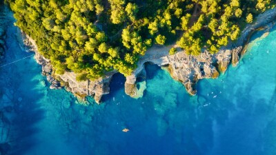
Over the last couple of years at our annual Geo Week conference, one of the topics that has elicited the most excitement has been bathymetric surveying. In some ways, this reaction is a little perplexing given that it’s not exactly a new technology. In a technology industry like ours, it’s generally the new, cutting edge tools and techniques that garner the most enthusiasm. With bathymetry, though, the space has changed so much in recent years – including with smaller sensors that allows for some combination topobathymetric sensors, and the ability to use UAVs for some of this work – that excitement is ramping up in new ways.
Our coverage at Geo Week News has reflected that excitement as well, with a handful of recent stories outlining modern bathymetric case studies and sharing insights from experts in the industry. Below, you’ll find a few of those examples, with links to the full stories.
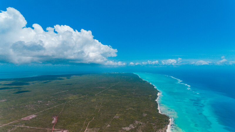
Mapping Riverine and Coastal Environments Using UAV Bathymetric Lidar
We start out with a look at work being done by a Vermont-based company, Whiteout Solutions, who specializes in UAV-based topobathymetric lidar surveying. As outlined by Eric van Rees, they transitioned from focusing largely on topographic work to incorporating more bathymetric work. The article highlights some of the work that has been done by Whiteout Solutions, and how they’ve integrated a RIEGL sensor into their UAV-based work.
How the Effort to Modernize the National Spatial Reference System Affects Bathymetric Surveying
The National Geodetic Survey (NGS) is currently in the midst of a massive undertaking in modernizing the National Spatial Reference System, and at Geo Week News we’ve been covering some of the different aspects of this process through the lens of support work being done by researchers from Oregon State University. In this particular article, we spoke with Charles Seaton of the Columbia River Inter-Tribal Fish Commission about how bathymetry in particular fits into this modernization effort.
Geo Week Showcase: The Need for Seamless Integration of Terrestrial and Ocean Mapping Data
As noted at the top of this page, bathymetric work has been at the center of so much excitement at the Geo Week conference, and this past year we had one session in particular focusing on this work and the need to combine ocean mapping data with terrestrial data. The session included speakers from NOAA, Dewberry, NV5, and Hexagon, and is recapped in this article from contributor Scott Howe.
Scandinavian Harbor Surveying with YellowScan’s Topo-bathymetric Lidar System
In another article from Eric van Rees, he looks at a presentation from Scandinavian Drone from this year’s YellowScan Lidar Convention. The issue at hand is that waters in Scandinavia can pose a major challenge for aerial bathymetric surveying given that these waters are typically dark and murky. Scandinavian Drones demonstrated that they were able to use a new release from YellowScan to quell those concerns and successfully complete the mission.
Day Three of Geo Week 2024 kicks off with updates from the USGS
Finally, we go back to another session from Geo Week 2024, this one an annual session from the United States Geological Survey. Every year, they provide an update on their elevation programs, and this year’s presentations touched on some of the newer parts of the 3D Elevation Program, also known as 3DEP. Specifically, Cindy Thatcher, a geographer with USGS, spoke about some of the bathymetric work being done by the organization and its collaborations with other organizations like NOAA and the U.S. Army of Engineers.