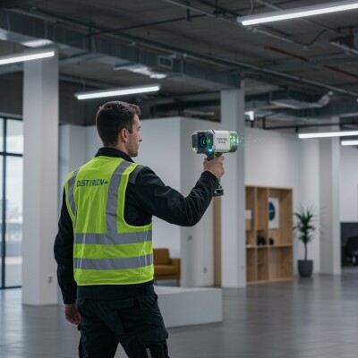
Terrametrix announced the arrival of its StreetMapper 360, which provides customers with rapid 3D mapping capabilities of highways, runways, railways, infrastructure and buildings using vehicle-mounted lasers. StreetMapper 360 captures data from a 360-degree field of view, at 600,000 points per seconds to a range of 300 meters and at normal road speeds. Benefits include speed, safety and efficiency while achieving survey-grade accuracy. The system is said to be capable of transitioning between highway vehicle, boat or hyrailer in an hour.
On a ½ mile Caltrans test area in California, the StreetMapper 360 system achieved positional accuracies of .022 feet. Caltrans created the test area collecting 1500+ control shots on the pavement surface. Terrametrix collected data in 45 minutes and delivered raw processed data to Caltrans and UC Davis for a mobile terrestrial LiDAR study. Initial reports reveal an RMS error report as follows:
| Number of Control Points | 1567 |
| Average dz | -0.003 |
| Minimum dz | -0.052 |
| Maximum dz | +0.061 |
| Average magnitude | 0.018 |
| Root mean square | 0.022 |
| Std deviation | 0.022 |


