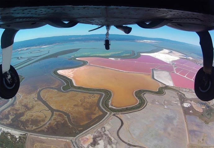
Watershed Sciences, AeroMetric, Photo Science all wrapped up into Quantum Spatial, Inc.
Quantum Spatial, Inc. is now North America’s largest geospatial and location-based services company as private equity group Arlington Capital Partners (ACP) has acquired GMR Aerial Surveys, Inc. (dba Photo Science) and Watershed Sciences, Inc. (WSI) and merged them with its portfolio firm, AeroMetric, Inc.
SPAR reported last month that ACP, which acquired Sheboygan, Wis.-based AeroMetric in August 2012, was purchasing Lexington, Ky.-based Photo Science, and merging the two entities to create the nation’s largest aerial mapping firm.
Chevy Chase, Md.-based ACP issued a press release Wednesday, saying Portland, Ore.-based WSI also entered a definitive agreement to merge.
But Quantum Spatial’s Chief Marketing Officer, Marvin Miller, former vice president for AeroMetric, told this reporter Thursday the merger has already been completed.
He declined to provide additional information, including financial terms of the deal, until a media outreach campaign is launched in the next few days.
Former AeroMetric CEO, Patrick Olson, is the new CEO of Quantum Spatial and former Photo Science owner and CEO, G. Michael Ritchie, is the COO. WSI’s former co-CEOs Matt Boyd and Russ Faux serve on the executive committee and lead sales efforts.
Olson, Ritchie, Boyd, and Faux, as well as ACP Managing Partner Peter Manos and Principal David Wodlinger, did not return calls for additional information.

The merged entities are retaining their trade names, at least for now, and each is being referred to individually, when contacted at their corporate headquarters, as “a Quantum Spatial company.”
“We look forward to continuing to expand our mission of providing on-target geospatial solutions, utilizing the in-depth knowledge and expertise of the industry’s largest professional and technical staff,” Olson said. “We have always admired Photo Science and WSI as competitors and look forward to bringing these strong organizations together.”
The combined entity will have more than 600 employees and well over $100 million in annual sales. Quantum Spatial serves industry verticals including energy, transportation, utilities, environmental, mining, national security, federal agencies, state and local government.
“We believe the future of geospatial services and solutions will be led by those that can provide the most insight from increasingly abundant geospatial data,” said Peter Manos, ACP managing partner. “There is tremendous value in geospatial information and we expect this industry to continue its current growth trajectory.”
The company will operate more than 20 aircraft and a full array of remote sensors including lidar, radar, multispectral, optical and thermal infrared.
Quantum Spatial said it will heavily invest in its product portfolio and expand its new cloud-based, software suite called GeoApps.
Geospatial technologies are increasingly relied on to organize massive amounts of information, accurately analyze complex “big data,” and churn out visual and communicative knowledge to be turned into efficiencies at the operations level.
Geospatial technologies include: GIS, GPS, aerial and satellite imagery, online mapping, in-vehicle navigation systems, spatial analysis and modeling of social and natural processes, visualization and data mining of complex information.
The U.S. geospatial industry generated about $73 billion in revenues in 2011 with geospatial services driving $1.6 trillion in revenue and $1.4 trillion in cost savings throughout the economy, according to a 2012 report by Boston Consulting Group (BCG).
BCG said the geospatial services industry boasts about 500,000 high-wage jobs, and the U.S. Department of Labor has identified the geospatial technology sector as one of the three technology areas slated to create the greatest number of new jobs over the next decade.
“Quantum Spatial has the scale to dedicate significant resources towards developing the next generation of location-based tools and analytics to help our customers transform data into solutions,” said ACP’s Wodlinger.
VIDEO: What is Quantum Spatial?
“The increased societal use of spatial data is spawning disruptive new technologies, continual innovation, and altered competitive pressure,” said Boyd. “These factors combine to create radical change and new opportunities. Clients want advanced analytics and answers now. Quantum Spatial will lead and accelerate this transformation.”
WSI, with over 100 employees, specialized in applying airborne remote sensing data capture and analysis to develop assessment, visualization, and software products and services for, primarily utilities customers, but also clients in the commercial forestry, natural resource management, utilities, energy, and green technology industries.
AeroMetric specialized in digital aerial image acquisition, lidar airborne terrain mapping, photogrammetric mapping, GIS, and remote sensing to produce digital and cloud-based deliverables for federal, state and local government, and defense and commercial clients. With about 300 employees, it called itself the nation’s largest mapping entity.
With about 200 employees, Lexington, Ky.-based Photo Science, purchased by Ritchie in 1991, was a geospatial solutions provider specializing in aerial acquisition (imagery and lidar), data collection/processing, photogrammetric mapping, mobile mapping, remote sensing, GIS, systems integration, and GPS surveying services. Photo Science dissolved as a Kentucky corporation on Aug. 6.


