Lokeren, Belgium, June 27th, 2014 – Orbit GeoSpatial Technologies today announces the availability of “Mobile Mapping Feature Extraction” version 11.0, the entry level solution within its Mobile Mapping portfolio. The update is immediately available for download.
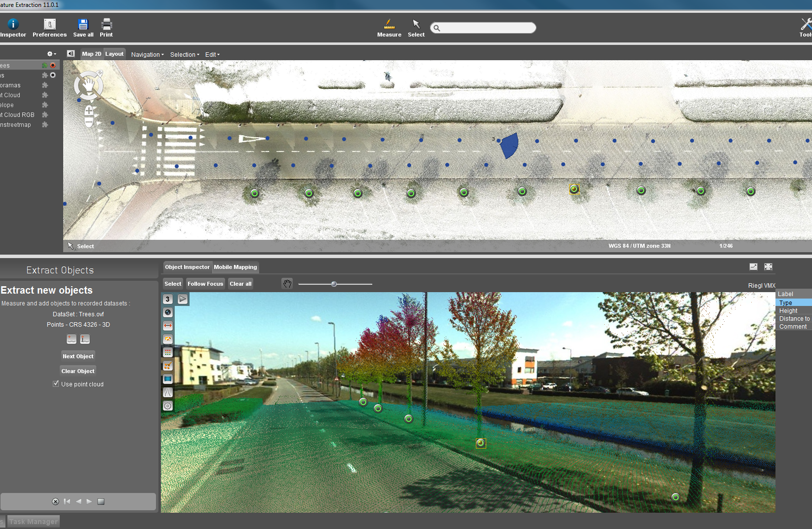
“Orbit GT’s Mobile Mapping Feature Extraction 11.0 is a new and powerful Feature Extraction tool, ready to use any Mobile Mapping data and extract any feature. It is simple, intuitive and very attractive to use. This new product is our entry level solution for everybody working with Mobile Mapping data“, says Peter Bonne, CEO at Orbit GT. “As we support all hardware systems, this is the perfect tool to get everybody acquainted with the power of Mobile Mapping data using our world-renowned solutions.”
Orbit’s power includes seamless access, viewing, inspecting and management of unlimited size pointclouds and imagery of all sorts and resolutions. The Feature Extraction tools include tools for Point, Distance, (Poly)Line, Catenary and Areas. Visualization includes panoramic view, perspective, anaglyph stereo and isometric views.
Orbit GT’s engagement in neutral and worldwide support for mobile mapping content is brought to the next level, uplifting the standards for mobile mapping content exploitation, optimization and sharing.
Orbit Mobile Mapping solutions are world leading applications for mobile mapping content management, feature extraction and content publishing.
About Orbit GeoSpatial Technologies
Orbit Geospatial Technologies is world leader in solutions for exploiting Mobile Mapping, UAS and Aerial Mapping data in managing, viewing, extracting, publishing, sharing and embedding in workflows. Orbit GT is headquartered in Lokeren, Belgium.