Mapping production today requires handling large data volumes with minimal operational complexity – a challenge for both small and large mapping companies. Apart from scalability, customization and automation of complex mapping production workflows are a must. Suitable workflows often comprise multiple software programs and include georeferencing, point cloud, and mesh solutions. Streamlined workflows that tightly connect each step as part of a unified solution will result in more effective delivery of geospatial information.
With this idea in mind, two German photogrammetry researchers from Stuttgart University developed a software product that performs dense surface reconstruction for mapping or surveying purposes—and offers dense pixel-wise results combined with reasonable processing times. In 2013, their initial spinoff resulted in a commercial enterprise called nFrames. Their flagship software SURE is now widely used for applications such as change detection, land registering, canopy extraction in forestry, glacier observation, tourism and city planning.
nFrames offers two versions of its software: SURE Aerial and SURE Pro. SURE Aerial is targets enterprises and authorities with massive project volumes. It is used by traditional photogrammetry experts, authorities, and service providers for massive data production in large-scale mapping workflows, such as surface model creation, true orthophotos and textured meshes for large-scale projects.
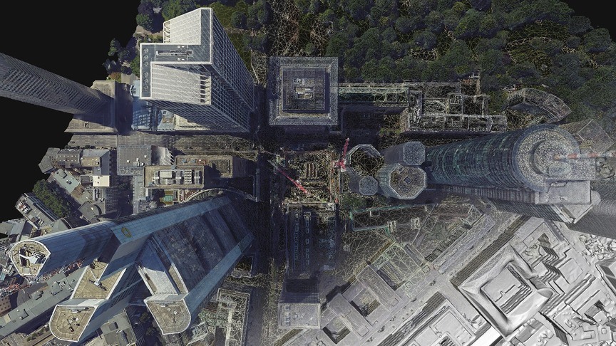
Imagery courtesy of Aerowest
SURE Pro, on the other hand, is for drone applications or close-range data processing. nFrames has made this separate offering available for drone applications because the market has different demands on accuracy, performance, and usability, even though the technology for acquiring and processing aerial and UAV data is the same.
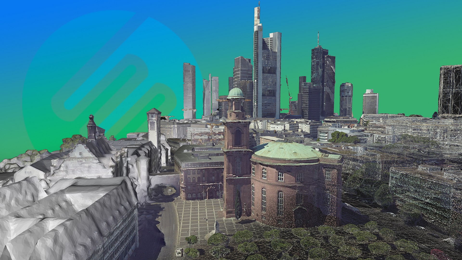
The role of SURE software is to deliver highly accurate and detailed textured DSMs, true orthophotos and detailed textured 3D meshes fully automated, either as stand-alone software or fully integrated into complete workflows.
Large-volume image processing
Handling massive data volumes requires adaptive resource usage and processing efficiency. This is why SURE uses spatial clustering algorithms as well as multi-resolution approaches that adapt automatically to the available hardware environment. SURE users multithreading, combined with efficient memory usage and optional GPU processing, to enable production on a single workstation. Users also have the option to use distributed processing to scale the production environment to match any size of project and throughput for the available hardware.
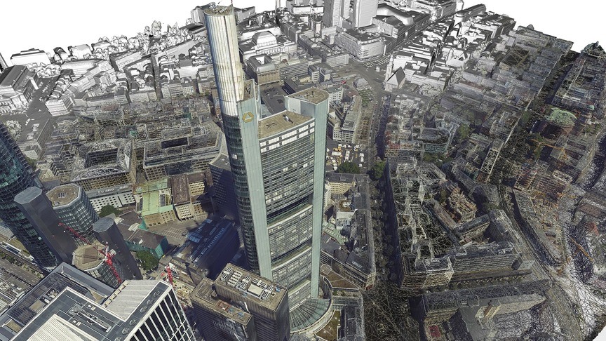
Imagery courtesy of Aerowest
SURE relies explicitly on standard community data formats to integrate into 3rd party tools, such as the LAS point cloud format, TIF, GeoTIFF, Cesium, OSGB, Collada and more. What interoperability issues there are concern data volumes—which means nFrames collaborates with technology partners on the hardware and software side, in synchronization with SURE users, in order to ensure compatibility to products in a complete value chain.
SURE software updates
The latest release of SURE is version 2.3 and dates from March 2018. It includes content-aware filters that produce a much cleaner point cloud without compromising on details, as well as a new option to leverage vector data as morphological pre-information or to specifically treat water-bodies. Power users will benefit from new distributed processing options, which will decrease their production times. The existing SURE Editor package introduces new editor tools to refine critical areas such as straightening of edges or flattening noisy areas where image texture such as lens flares might have caused issues.
These additions are a proof of nFrames’ ambition in getting accurate results in a fully automated imaging process. For the future, the company aims to improve the integration of complementary sensor sources, smart algorithms and machine learning, enabling a new level of measurement precision and data completeness.


