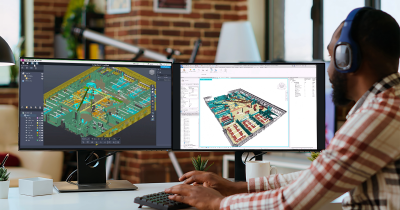
Being able to walk the tradeshow floor of each event to explore the newest lidar mapping technologies, learn about the latest 3D visualization tools and experience AEC innovations has been essential, but attendees will now be able to see all of these technology advances on a single exhibit floor. Additionally, the conference program is set to feature six distinct tracks that take the topics and concepts that were showcased at ILMF, SPAR 3D and AEC Next to another level. Autonomous Vehicles and High Definition Mapping, the Latest Advances & Applications in Topobathymetry, BIM Project Approaches, Planning for the Digital Twin and 3D Data Sharing Across Platforms are just a few of the sessions that are planned for Geo Week. We’ll have plenty more info to share about the specifics of these sessions and all the incredible speakers that will lead them over the next few months.
The Road to Geo Week is one that we’ll all be traveling in different ways, with distinct expectations around the goals and results that we’ll see at the destination. Regardless of these details, this journey is one that will further enable the coming together of geospatial technologies and the built environment in a way that explores new possibilities, improved efficiencies, and better outcomes for your team and organization.
Please take part in that journey with us to be at the forefront of the next technology revolution that will see the fusing of the physical and digital worlds.
To join us on the Road to the Geo Week, sign up for updates about the event, which includes the opening of registration. Stay in the know!


