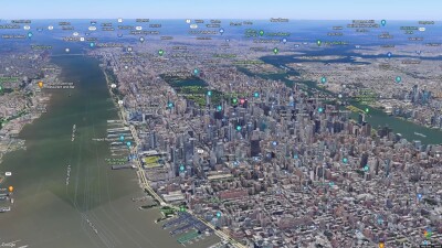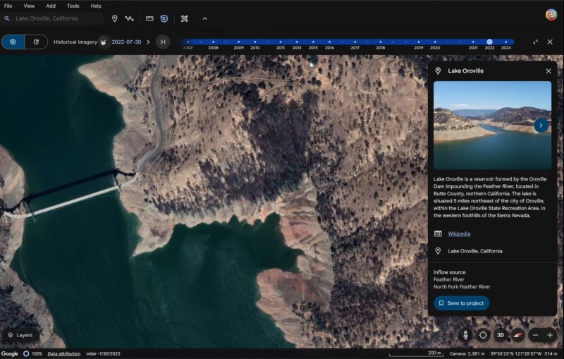
New historical imagery on Google Earth
In a recent blog post, Google announced several updates to Google Maps and Earth. Google will offer new historical imagery in Google Earth on web and mobile so that users can explore Google’s library of satellite and aerial imagery, some of which goes as far back as 80 years. Some imagery is already available through a feature in Google Earth called Timelapse, which shows imagery animations over time. Google calls Timelapse “an interactive experience built from millions of satellite images showing a stunning visualization of how our planet changes over time”.
The Timelapse feature has been available for some time, but in a different form: a blog post from 2023 announced an imagery update with new data from 2021 and 2022, going back in time to 1984. The Timelapse feature then showed “4D interactive maps”, or short videos created from millions of satellite photos. Google created a library of over 800 Timelapse videos for more than 300 locations. These are meant for research and educational purposes. The satellite data comes from open and accessible data from the Landsat and Copernicus programs.
Google Earth team collaboration updates
In another recent blog post, Google explained how organizations and researchers using Google Earth can collaborate and share their work within teams more easily. Google will also provide access to historical imagery, improved satellite imagery, and abstract basemaps for enhanced visualization capabilities in addition to a newly designed home screen. Basic functionality will become available, including copying and pasting polygons, lines, points and tile overlays across projects in Google Earth web from Earth Pro to Earth for Web.
Google Earth now includes a better cloud-free mosaic of the world. It is Google’s most detailed global mosaic, thanks to a Cloud Score+, an AI model trained to recognize and remove clouds, cloud shadows, haze, and mist. A long Medium blog post explains how the Cloud Score+ model detect clouds and cloud shadows. More sharpened satellite imagery will be made available not only on Google Earth, but also on Google Maps. At the same time, you can also show short animations of cloud formations over large areas in Google Earth in the available layers.
Streetview update
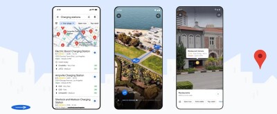
On the consumer side of things, Google Maps will have more and better imagery for virtual explorations of the planet. Featured in both Google Maps and Google Earth, more interactive panoramas will be made available through Google Street View, with new imagery in almost 80 countries. This will be the largest update to Street View yet, and some countries which will have Street View imagery for the very first time.