

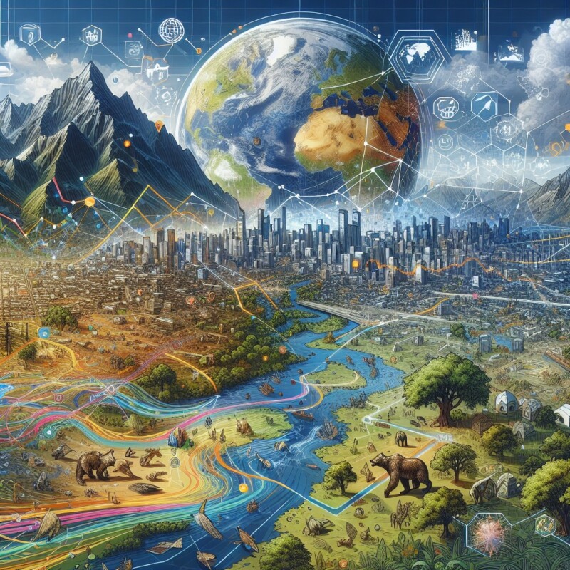
Good data leads to good decisions. With this in mind, public agencies around the world are relying on the data generated through geographic information systems (GIS) to enable better decision making around efforts that promote the public good, with examples coming in areas including environmental protection, public health, and disaster management, among others.
From the federal level, to the state or province level, and down to individual cities and towns, GIS tools are generating complex sets of data that are being used by professionals working in government. As the website Opengov points out, “the majority of government work is location-based,” and, as such, “GIS has the potential to significantly impact almost every aspect of local government.”
By approaching decision making “from a geographic perspective,” Opengov states, government officials can turn to GIS tools and data sets to achieve their goals and drive the establishment of effective policy. Around the world, GIS-derived information has become an essential component in problem-solving around population growth, weather and temperature, pollution levels, public works, infrastructure, law enforcement, sanitation, sustainability, and other areas.
Geo Week News has reported on the many ways GIS has been used to further the public good.
- In Hawaii’s Kaua'i County, officials created a GIS basemap overlaid with projected sea level rise and used this data to pass a law requiring contractors to consider sea level rise when engaged in new construction and extensive renovations.
- Officials in Vienna, Austria have been using GIS to address a wide range of concerns, such as rapid population growth, the development of a massive urban project, and the need to create a balance of sustainability and livability for its residents.
- To mitigate the effects of urban heat islands, the city of Raleigh, North Carolina used GIS tools, weather sensors, and other data collection system to create a digital twin. Based on this work, the city put in place policies around tree planting and new ways to treat pavement.
- The Humanitarian OpenStreetMap Team (HOT) is a global nonprofit organization that uses the global OpenStreetMap community to provide first responders with essential and timely mapping data for a region impacted by a disaster or emergency. Among its most recent efforts, OpenStreetMap coordinated with officials to provide crucial information following the devastating earthquake that hit Turkey and Syria in 2023.
These successes and others like them have increased awareness of how GIS can serve the public good, and in turn have spurred government investment in the use of these systems. In 2021, for example, President Joe Biden signed into law the Infrastructure Investment and Jobs Act, a bill that earmarked billions of dollars of investment in improving roads, bridges, ports, and other critical assets in the US. According to Cloudpoint Geospatial, there are 119 references to maps or mapping in the bill.
“This historic bipartisan infrastructure bill ensures communities across America will have a chance to repair, replace, and install new assets and features to keep their populace healthy, educated, and able to travel freely and safely,” Cloudpoint Geospatial said. “GIS is a small, but important piece of this puzzle.”
Another sign that government interest in GIS may be on the rise is the selection of Minnesota governor Tim Walz to be the Democratic Party’s candidate for Vice President. Walz, a former high school geography teacher, has referred to himself as a GIS “nerd,” and he has served as a featured speaker at Esri’s annual user conference.
According to a story in Bloomberg, Walz taught his high school students to “use GIS to cross-analyze datasets” to predict, for example, areas where genocide may occur. As Minnesota governor, Walz has relied on sophisticated mapping to inform decision making on topics such as broadband speed, peatlands management, and the challenges associated with Minnesota’s child tax credit.
With Walz’s candidacy, along with increased government funding for mapping projects and regular reports of GIS successes in creating public policy, the use of mapping for the public good has a bright future.