Last month in San Diego, California, Esri held their annual user conference, consistently among the top gatherings of geospatial professionals from around the world on a yearly basis. This year’s edition of the GIS giant’s flagship event, which boasted over 40,000 attendees between their in-person and digital attendance options, featured instructional sessions for Esri’s products as well as panel discussions for higher level industry discussion, and of course a day of plenary and keynote talks featuring company executives and others in the geospatial fields.
The plenary discussions from the opening of the show are available online here, and as someone who was not able to attend the show this year it was valuable to be able to see these presentations and conversations after the fact.
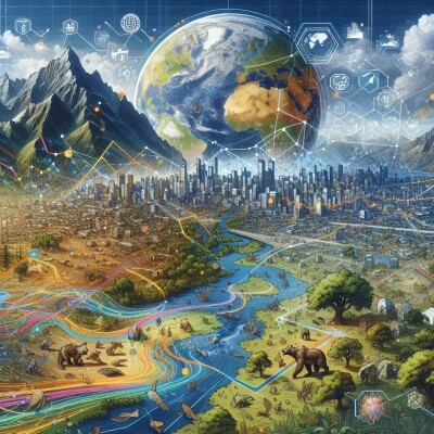
As one would expect, Esri founder and President Jack Dangermond was front and center for much of the plenary portion of the conference, and opened as he always does – including when he keynote the 2023 Geo Week conference – by having those in attendance introduce themselves to someone new. After that, he began diving into all of the ways GIS and mapping more broadly is touching nearly every sector and industry on the planet. He ran through some of his favorite maps submitted by Esri customers, showcasing how these maps are being used for things like environmental monitoring, public safety, public health, disaster planning and response, economic development, and more.
Dangermond also looked at the geospatial world from a higher view as well, talking about how important geography and the way GIS helps spread that mission. In his words, GIS is “making everything we know available to everyone,” adding that another word for geography in his mind is “everything.” This portion of the plenary was largely about appreciation for the work done by those in that room full of GIS professionals from all sectors and backgrounds, and justifiably so.
Dangermond’s talking points also served as a good primer to one of the main keynotes from this year’s event, Minnesota governor Tim Walz. Since this conference, Walz’ position in the public spotlight has of course significantly changed, as he was recently named as Kamala Harris’ running mate on the Democratic Party’s ticket for the 2024 election in the United States. At this point, though, he was not on that radar, and spoke extensively about his professional life prior to joining politics as well as his political career.
The uniting theme throughout Walz’ talk was the important role geography, and more specifically GIS, has played in every stage of his life. He talked about being a child in Nebraska, reading issues of National Geographic and dreaming of faraway lands. He also discussed his time in the military, where locational information is crucial. And of course, as both a member of Congress – where he notes he was astounded by the relative geographic illiteracy from his colleagues – and governor of Minnesota, the role GIS has played in displaying important information about his constituents.
There were two stories of his around the power of GIS that stuck out. The first is a more recent story, as he discussed the use of GIS in 2020 at the outset of the COVD-19 pandemic. The oft-referenced Johns Hopkins COVID map was the most viewed GIS map ever, according to Walz, and these maps helped shape Minnesota’s effective COVID policy. He also spoke about his time as a public school teacher, and specifically one project he used with high schoolers in the ‘90s. In a lesson around historical genocides, he had his students layer relevant data within a GIS map to try predicting the next location that could suffer through a genocide. His students, using this data, landed on Rwanda, which proved to be a prescient prediction. Walz relays that many of those students eventually worked at NGOs and other professions that utilized this technology.
Dangermond and Walz were only parts of the plenary portion of this year’s Esri UC, with much more content than we can cover in this space. For example, there was extensive talk about some of the new features that have been added to ArcGIS platforms, such as implementations of artificial intelligence, new innovation around flood simulations, and 3D capabilities that had not previously been available. We also heard from end users in a couple of different areas, including an explorer with National Geographic who was monitoring vegetation in Greenland, The Crown Estate from the UK who took home an award, and representatives from Miami-Dade County, who uses GIS to help improve lives in their massive and diverse district.
As always, it’s worth checking out the entirety of these discussions. GIS is such a core tool for so many industries and workflows that it can be easy to overlook its importance, particularly for those who work closely in it. These talks, which spanned use cases and industries, brought that value and importance to the forefront.