


Every week, we highlight stories from friends around the internet that put a spotlight on the latest from within the geospatial, advanced visualization, and AEC industries. These stories can take many different forms, whether they be about a new innovation or workflow, an interesting and/or unique use case for technology, or a higher-level look at the state of the sector. Today, we discuss the Smithsonian Institute’s usage of lidar and photogrammetry, how geospatial tools are being used to better understand environmental effects on agriculture, and a gas company’s usage of GIS.
Find links to the full articles below.
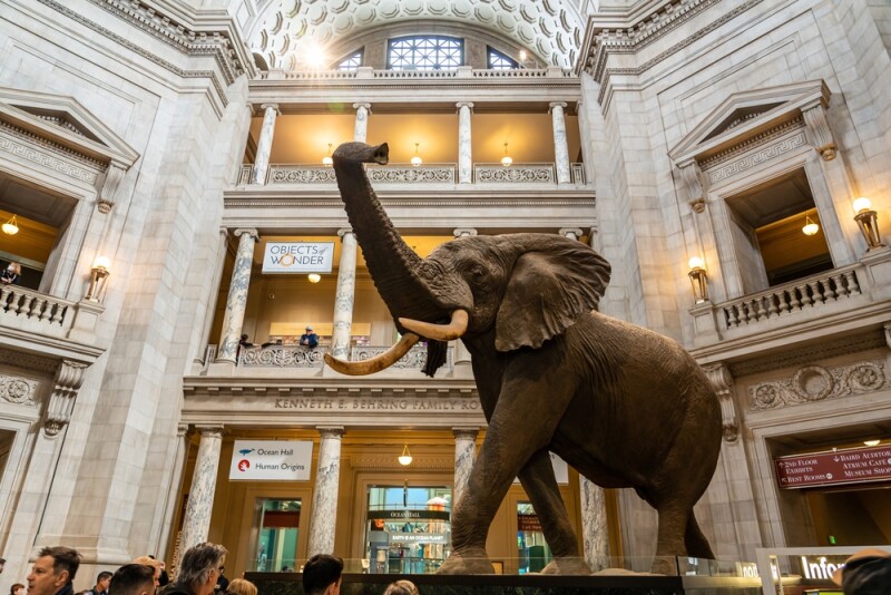
The Smithsonian’s 3D Revolution: Using Lidar, Photogrammetry, and Structured Light to Digitally Preserve History
Lidar News
The Smithsonian Institute is one of the most well-known names in natural history and other categories, with its museum complex drawing over 25 million visitors annually. However, not everyone is able to make their way to Washington D.C., to see the exhibits in person, and now the institute is working to make these collections more accessible. This article highlights how lidar and photogrammetry are being used to bring these collections to life with the creation of a free library of 3D scans.
Measuring Permafrost Thaw Subsidence in Agricultural Fields in Alaska
Open Access Government
In areas like Alaska, where climate change is being felt in the form of permafrost thawing, the immediate impacts can be felt in agriculture. By changing the topography of the land, shifting water flow patterns on the surface, and other effects, crops that people grow in this area are being impacted in ways that have not been studied to great extents. This article highlights one study being done at the University of Alaska Fairbanks, using drone-based lidar scans to better understand this thawing and how it affects industries in the area.
Mapping Sustainability: How GIS Transformed a Gas Producer’s Reporting
Cassandra Galindo | Esri
Companies like PureWest Energy and other natural gas producers are being called upon to be more transparent in reporting and tracking their methane and carbon emissions among other environmental impacts. This article dives into how exactly they are doing that with modern geospatial technologies, leveraging ArcGIS StoryMaps to create their yearly reports. The article looks at how this process has evolved since starting in 2022, with whom these StoryMaps are shared, and how it’s led to other GIS usage within the company.


