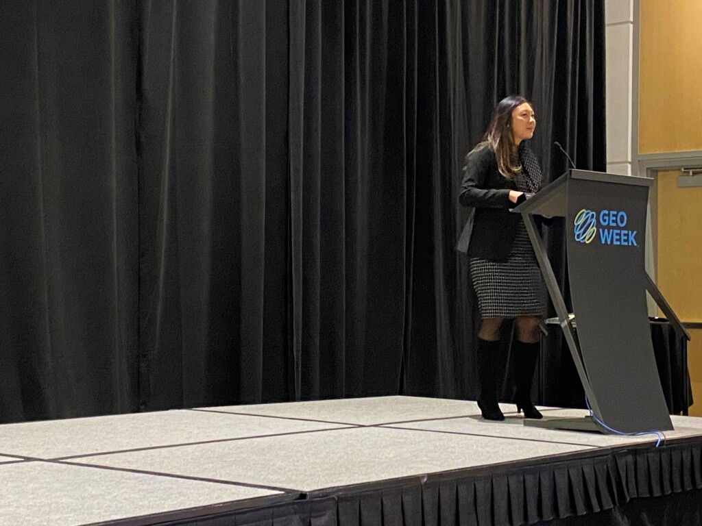
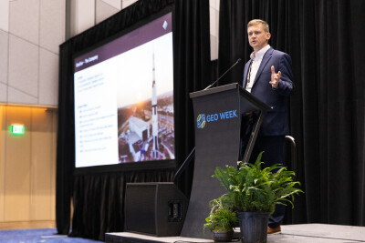
Geo Week 2024 kicked off on Sunday, with the annual Product Preview presentations starting the event in full force. The presentations were split between two rooms, with each participating company getting 15 minutes to discuss their newest products and innovations. The products on display during these presentations ranged from hardware used to map large areas, payloads for drone-enabled surveying and mapping projects, and software to help process this data and deliver data in a presentable fashion. This is the third part of a series looking at the companies' presentations. You can check out parts one and two here and here.
RIEGL
RIEGL’s Michael Sitar Product Preview presentation reviewed his company’s long history of innovation. The company’s high precision, 3D laser scanning and measurement systems, wide-area mapping technologies, scan pattern systems, and more have enabled clients in many fields to complete operations with greater accuracy and efficiency. Building on this history, the company recently introduced new innovations in aircraft-mounted pods, topobathy, and waveform processing.
Leica Geosystems
Leica Geosystems’ Mike Harvey discussed two of his company’s offerings, the Reality Cloud Studio and its BLK260 scanning technology. Reality Cloud Studio, he said, allows users to upload data straight to the Cloud, enabling instant collaboration, reducing communication-related delays, cutting down on site visits and in-person meetings, and promoting teamwork between production equipment suppliers and others. The BLK260 scanners are ideal for indoor applications and can be used with the BLK Live mobile app to create an “immersive experience” for users.
Trimble
Skyler Neumeyer, a Mobile Mapping Applications Engineer at Trimble, discussed updates to his company’s mobile mapping systems and software offerings. The next generation MX90 mobile mapping system, he said, features a Ladybug 6 camera and updated control units and POD systems. On the software side, Trimble has made improvements to its MX Data Workflow, TMI Field Software, and Trimble Business Center.
Teledyne Geospatial
Showcased during the Product Preview sessions, Teledyne Geospatial’s Galaxy Onboard is a real-time processing and quality control solution designed for airborne lidar applications. Galaxy Onboard can help increase ROI and address issues around costly re-flights and damage detection through its use of a high-performance onboard computer, wireless display for operators and pilots, user-focused flight management system, fast, real-time processing engine, and other features.
Vexcel Imaging
For Vexcel Imaging’s presentation, Jerry Skaw and Rob Carroll talked about the latest innovations for the company. They started by discussing the planned expansion of their aerial imagery content program, which is already the largest in the United States. They plan to expand their coverage in 2024, with over 99 percent of the nation’s population being covered by the imagery, which comes in up to 7.5 cm resolution. Also discussed was their various camera systems, including the UltraCam Merlin 4.1 and the UltraCam Dragon 4.1, their first combo systems capturing nadir, oblique, and lidar. Finally, they noted their new 3D Cities offering, which uses their aerial imagery while leveraging 3D streaming capabilities from Cesium to provide accurate 3D representations of major cities.
RIEGL
My-Linh Truong took the stage for RIEGL’s second presentation of the day, with hers focusing on the UAV mapping systems offered by the company. She highlighted the different lidar scanners designed for UAV integration before moving into their newest product, the RIEGL RiLOC. Standing for RIEGL’s Location/Orienation Component, RiLOC is built into RIEGL’s aerial mapping platforms with no modification needed by the end user. RiLOC is a MEMS-based IMU unit with built-in GNSS and appropriate software integrations.
Trimble
Ben Messer took the Product Preview stage for Trimble, speaking about how Trimble Business Center (TBC) can be used for photogrammetry workflows. He noted the impressive progress made with TBC since it’s launch about a decade ago, specifically highlighting the improved ability for integration. There are now more UAVs than ever which can be brought into TBC, and even if your UAV of choice is not specifically supported in the Trimble library it can still be imported in with a simple, three-step process. Messer also noted the ability for users to bring laser scanning point cloud data into TBC along with imagery to help with comparisons and other workflows.
Teledyne Geospatial
Teledyne Geospatial, also known as Teledyne Optech, was represented by Malek Singer in their presentation. A product manager with the company, Singer focused on Teledyne’s marine data capture solutions, including lidar bathymetry, sonar, and accompanying software. Much of the focus, however, was on the hardware side, specifically the CZMIL Supernova. This topobathymetric mapping system is equipped with the most powerful green laser on the market, according to Teledyne, and can capture data in waters with varying levels of turbidity. Singer also highlighted the company’s CARIS software, which processes the data collected by these scanners and leverages AI for classification.


