Since their original releases, Bentley has continued making incremental improvements to its ContextCapture photogrammetry solution and the ContextCapture Editor. As of today, the software includes functionality for using QR codes during acquisition, faster processing, and volume calculation functionality.
ContextCapture Updates
- 3D-resolution maps: ContextCapture now produces a 3D-resolution map that automatically associates data resolution to 3D locations on your model. This feature is expected to assist with QC and reporting.
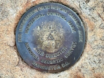
- QR support: It’s here. The software will enable the use of QR codes as automatic ground control points, for constraint measurements, and even for automatic asset registration. “For 3D spatial registration of assets,” Bentley says, “you only need to place the QR code tags on the assets before performing the photo acquisition.”
- Faster processing: ContextCapture now features better aerotriangulation and multi-GPU support for quicker results.
- More: Other updates include thermal imagery support, global color EQ, and ContextShare integration.
ContextCapture Editor Updates
- A new scalable mesh format: The new format (.3sm) enables you to combine inputs of different resolutions. ContextCapture now enables conversion to this new format from existing data such as DTM, point clouds, raster elevation, and more.
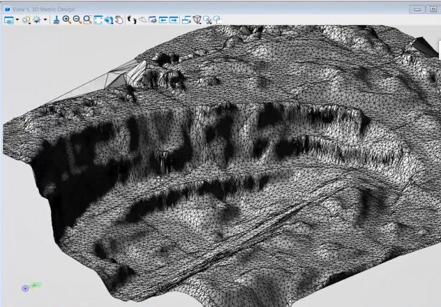
- Ground extraction: Extract terrain to a new mesh display the results using clips.
- Tile terrain: Once you’ve extracted terrain, you can tile it and save as terrain model elements or LandXML files for road design work.
- Volume calculation: Quickly analyze volume differences between two defined areas in a mesh. Bentley says this function is useful for calculating stockpile volume for comparison to the actual design, or for checking progress by comparing meshes taken at two stages of the construction work.
For some quick overviews, check out the videos below.


