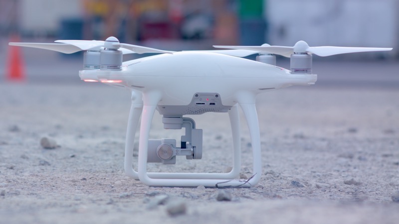
The list of needs when you’re launching a drone capture solution can be, well, bewildering. Compass Data can help. The company cut its teeth by building and offering a global network of ground-control points for survey-grade aerial capture, and have recently taken the natural next step to offering a full drone capture service—offering users everything they need to get going with their own survey-grade capture.
For more information, check out our interview from the ILMF show floor below.


