One of the most common recurring themes over the last couple of years in our coverage at Geo Week News has been the democratization of reality capture technology. An industry that was once reliant on expensive, highly technical tripod-based lidar scanners, reality capture is now open to many more users thanks to cheaper systems and new mobile mapping tools that are significantly easier to use. Make no mistake, though, that doesn’t mean that it is easy to collect this data on job sites.
Even with newer mobile mapping tools, and other scanners that are simpler than even a decade ago, data collection can still be a difficult process and firms don’t always decide it is worth it. Those that do undoubtedly benefit from having that data, but are also certainly always looking for easier ways to attack the problem. Those mobile mapping solutions are a big part of the process, and newer portable and modular scanners are indeed closing that gap.
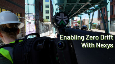
This was the focus of a recent webinar hosted on Geo Week News, put together by Exyn Technologies. The webinar, entitled Precision Decisions: Expanding the Surveyor Toolkit with Portable 3D Mapping, featured a pair of speakers who were able to speak to the newest technologies offered by Exyn, why they are so helpful for end users, and for what kind of use cases they make the most sense. Those speakers were Justin Thomas, PhD, the Director of Autonomy & Mapping with Exyn Technologies, and Karoliina Torttila, the Director of AI with Trimble.
Make sure to sign up for your free, on-demand recording of the 60-minute discussion.
The first part of the webinar was covered by Dr. Thomas, who gave some background about what Exyn Technologies does. In short, they are experts in creating these mapping systems, with a particular emphasis on autonomy and working in some hard-to-map areas. Thomas talks about some of the higher-level focuses of the company, and then talks about the backbone to its technology, simultaneous localization and mapping, or SLAM. Thomas explains how it works, different types of algorithms, how they have improved over the last few years, and why it’s so important to this portable, autonomous mapping.
Speaking of autonomy, he also discusses the key differences between “autonomous” and “automatic,” showcasing why Exyn’s ability to achieve the former can be so valuable for end users. Discussing how they’ve created levels of autonomy for drone and robotic-based surveying, similar to the autonomy levels we see for autonomous vehicles, Thomas explains that they have achieved “Level 4 Autonomy,” and what that adds to surveying in GPS-denied environments such as mines. He ends this discussion showing how easy it is to use these systems with a must-see video showcasing how even their “CDO” (Chief Dog Officer) can use it.
Following that higher level discussion about these portable mapping systems, Torttila took over the presentation to focus on some of the use cases. Given her position with Trimble, she has the opportunity to see how some of the most cutting edge firms in the AEC industry are using various types of technology, including these portable and autonomous mapping systems. She highlights a variety of use cases in the AEC industry, noting that these tools can be used in all stages of a project, from planning and design all the way through asset management. More specifically, she talks about how these systems are used to streamline work in forestry, giving detailed maps below the canopy, as well as more traditional construction workflows (including those using Boston Dynamics’ Spot the Dog), and tunnel work.
Everyone in these industries is aware of how difficult it can be to collect this crucial point cloud data, and this conversation dives into important points about how the newest innovations are starting to break down these barriers. This webinar dives into significantly more detail than is quickly outlined here, and includes answers to some listener questions at the end to provide more detail and context into the conversation. So, if you’ve been wondering how you can streamline your data collection operations for any piece of a project workflow, make sure to sign up for your free, on-demand recording below.