Reality capture is one of the core technologies that serves as a backbone to not only the coverage here at Geo Week News, but also the conference content showcased at the annual Geo Week conference. This point was driven home by yesterday’s announcement that the Reality Capture Network has joined a strategic partnership with Geo Week. Still, reality capture is a relatively new idea and is really only newly accepted by the broader geospatial industry. For our part, most of our coverage around reality capture tends to focus on specific case studies, which are always fascinating but can also be narrow in focus.
With that in mind, we thought it would be a good idea to pull together some stories we’ve written that take a higher-level look at reality capture, including insights from industry veterans, opinions from our own editorial staff, and highlights from previous Geo Week conference programs.
Find links to the full stories below.
Reality Capture as a Distinct Geospatial Discipline
To start off, we look at a recent story from Geo Week News. Here, contributor Gavin Schrock spoke with Juergen Mayer, who serves as the president of the Reality Capture Division within Leica Geosystems, part of Hexagon. This is one of the first specifically reality capture-focused divisions within a major geospatial company, which made for a fantastic conversation. In the wide-ranging interview, Schrock and Mayer discuss some of the key factors that make up the reality capture industry, how it has evolved over the last half-decade, and what the future could hold.
The Democratization of the Reality Capture Space
One of the key trends that has allowed reality capture as a sector to take off is that it has become far more accessible to get involved. Even just a decade ago, the technology for data collection was both pricey and extremely technical, creating a space that could largely only be occupied by large companies who could afford the tools and employed the technical staff. Recent innovations in sensor technologies as well as processing software have broken down some of those barriers, allowing new professionals, companies, and industries to enter the sector and take advantage of the technology. While not as powerful as some of the more traditional data collectors, the new tools are often good enough for the projects on which they are used.
Democratized Laser Scanning Technology Protects Cultural Heritage
Building off of the previous post, this article focuses on a more specific use case for reality capture technology: heritage preservation. This takes many different forms, but reality capture tools are increasingly being used to help preserve culturally important structures and areas by collecting accurate spatial data. Sometimes, this data is used for immediate renovation. Other times, it’s to keep a record in case of future necessary renovation. And sometimes it’s just to create a record with which future generations can look at this structure. For whatever end use case, the ability to preserve these important structures is becoming significantly easier thanks to the aforementioned democratization.
For Reality Capture, Simplicity is Productivity
Here, we go back to another article written by Schrock, who takes a deep dive into the actual tools used in reality capture workflows and what makes them work. Often, we hear these technologies spoken about with broad, marketing language but Schrock wanted to see specifically how the systems operate. What he discovered is that simplicity is truly the key.
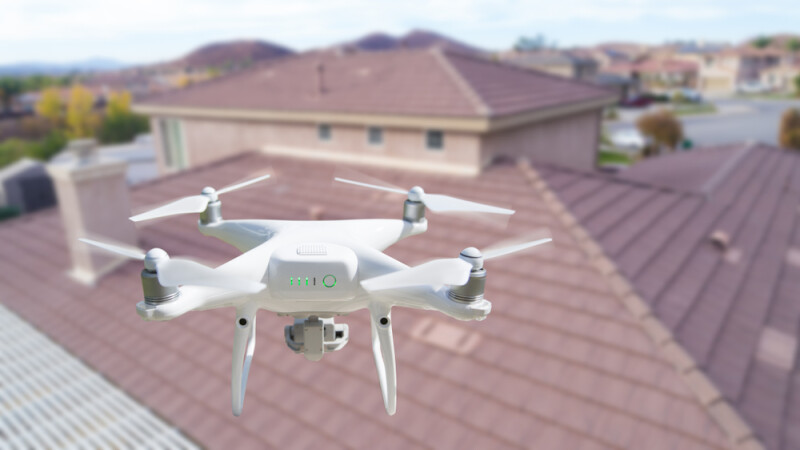
DroneDeploy releases a “State of Reality Capture” report
As noted above, the idea of a “reality capture industry” has only been a thing for a relatively short amount of time, but now that we have reached that point it makes sense that we’re starting to see broader analysis of the industry as a whole. Earlier this year, DroneDeploy released their first ever “State of Reality Capture” report, which led to some interesting findings. As outlined in the article, they may not be the perfect conveyor for this kind of report if for no other reason than the fact that it skews heavily towards UAV users, but it’s a still a good, high-level view of where the industry is today and where insiders think it could be heading.
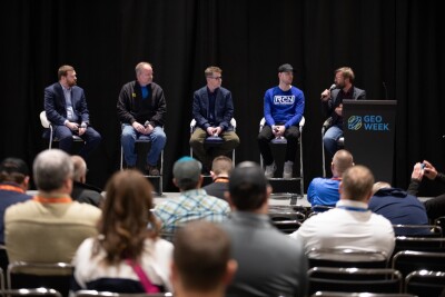
USIBD tests multiple mobile scanning systems at Geo Week 2024
Finally, we take a look at one particular session from this year’s edition of the Geo Week conference, focusing on small-scale mobile mapping systems. USIBD is a vendor-neutral organization, and they were sure to make clear that this session was in no way a competitive comparison, but rather a look at what certain systems are good at, and where others may be better.