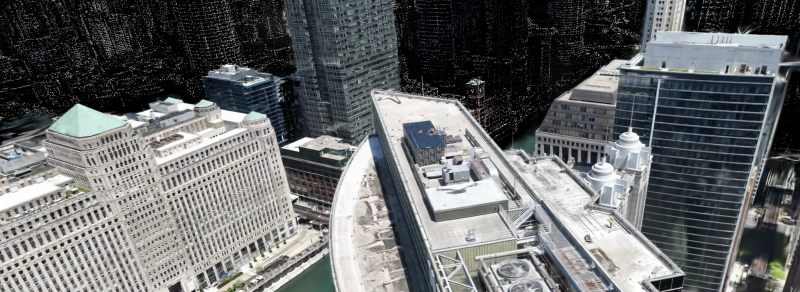
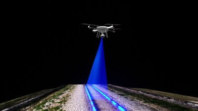
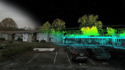
Over the last couple of months as we prepared for the end of 2024 and to welcome in 2025, one of the biggest themes within the geospatial and AEC industries noted at Geo Week News has been the growing ability to fuse datasets from different sources. Whether it be satellite imagery, different methods of laser scanning like terrestrial and mobile, or photogrammetry and lidar, combining all of these various datasets has become significantly easier for several reasons. This is already starting to transform reality capture workflows for which multiple techniques could be ideal for different parts of a project.
This idea becomes even more powerful when we start to think about the possibilities with newer tools and techniques. Two of the most significant advances of the last few years, for example, have been SLAM – or simultaneous localization and mapping – and Gaussian Splatting. The former has been around and in use for a few years now while the latter is still in its nascent stages, and we’re starting to scratch the surface of combining these two technologies.
This was the topic of a webinar held on LinkedIn shortly before the New Year entitled Gaussian Splatting + SLAM. The ultimate tool for reality capturing? The roughly 90-minute discussion was sponsored by XGrids and moderated by Michal Gula. Joining Gula was Mindy Li of XGrids, Michael Rubloff of Radiancefields.com, and Tomas Barnas of Overhead4D. The discussion, which can be watched in full here, included a lot of important nuggets for those interested in leveraging these technologies together,, and it also got us thinking about the real value that can already be achieved by combining SLAM and Gaussian Splatting.
Given how many new terms and tools are thrown out in this industry on a regular basis, it’s worth quickly going over what exactly we’re talking about when we say “SLAM” and “Gaussian Splatting” before getting into the value of the two being combined. We’ll start with SLAM, which as noted is more of an established tool within the geospatial community and refers to algorithms being used in mobile mapping. To put it concisely, SLAM algorithms allow devices to create a map of their surroundings while simultaneously tracking their position within that environment in real time. This has helped unlock handheld mobile mapping in many ways, making scanning complex environments significantly easier compared to traditional methods involving the movement of terrestrial, static scanners.
Meanwhile, Gaussian Splatting is a bit more complex and significantly newer, with the original paper on the topic having been published under two years ago. The technique allows for the rendering of 3D scenes by “splattering” 3D Gaussian points onto a plane to allow for much easier real-time rendering. Geo Week News held a webinar on the topic last year that provides a good basis for the technique, which can be accessed here.
One of the big issues with Gaussian Splats, as discussed in that webinar, has been that some of the use cases can be somewhat limited given the fact that these scene renderings are not spatially accurate enough for many use cases. That’s where the combination of SLAM-based laser scanning can come into play, using that point cloud data to help calibrate and position these visualizations.
XGrids has been working toward this combination, and Li spoke to what she termed as a new “visualization age,” saying that “accuracy is not the ultimate destination we want to pursue, but balance [between visualization and accuracy] is the goal of the solutions.”
The webinar talked about some of the industries that can benefit from this kind of combination of powerful and accessible visualization alongside the accuracy laser scanning data can bring, including, of course, surveying. They also noted AEC, which makes a lot of sense given the increasing importance of strong visualizations for presentations in earning new projects. Li shared an example of these visualizations then being tied to BIM data to continue using the visualization throughout the lifecycle of a project.
Moving forward, we should start to see other industries benefit from this combination as well. That includes, for instance, the entertainment industry, which is increasingly leaning on accurate visualizations for scenes in films and games. There is also plenty of possibility within the virtual and augmented reality spaces, which is more of a burgeoning area but one that can provide immersive experiences for both work and entertainment. Barnas shared an example of a project he completed last year of a scanned building where he used splats to render the environment around the building, all of which could be viewed together within a VR headset.
These are both relatively new technologies and techniques, and there is plenty of individual development for both aspects. This combination, then, will also see growth and improvements in the months to come. This webinar provided a great baseline of where things are today, though, and outlined an encouraging future showing the true power of combining data and techniques to maximize deliverables.


