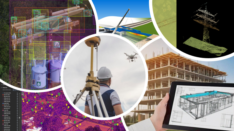
As we approach the end of the year, it’s only natural that we start to think about what is going to be trending in the year to come. This past year has, for example, brought some clear trends to the geospatial industry, such as a bevy of new options on the handheld mobile laser scanning market and AI-powered software solutions to make tedious work simpler and faster. Now, we wonder what those trends will be in 2025.
At Geo Week News, we’ll be covering this in-depth plenty over the next few weeks and into the new year, with conversations coming highlighting trends specific to the AEC and geospatial industries, respectively. We’ll also, shortly after the new year, be hosting a webinar in which we talk about this very topic, with thought leaders coming together to discuss how geospatial and 3D tools will transform industries in 2025. Registration for the webinar is open now. For a bit of a sneak peek, below we have a few of the broad topics that are sure to be discussed in January.
Generative AI Making its Mark
There isn’t an industry on the planet that hasn’t been grappling with the way that generative AI can transform their specific sectors. Since the initial public release of ChatGPT a couple of years ago, large language models have been dominating conversation in the business world. Rapid advancement for these tools has only continued to fuel that speculation. At the same time, there are still problems around data sourcing, data storage, and hallucinations that are holding back the maximum value and making some nervous to fully dive into the technology.
With all of that being said, there’s little doubt that even if generative AI isn’t the panacea that some evangelists seem to imply that it is, the technology can provide huge value in certain areas. The geospatial and AEC industries are ones that are rife with massive amounts of data that aren’t always used to their full potential, tedious workflows, and some worker shortages in certain sectors, all of which make it a perfect target for tools powered by generative AI.
It’s expected that 2025 will be the year that we start to generative AI really make its presence known in these spaces. We’ve already seen this to some degree in the AEC sector, and geospatial shouldn’t be too far behind. The Geo Week 2025 conference program will touch on the ways generative AI can make an impact in the field, and the January webinar will also dive deeper into this topic.
Combining Disparate Datasets
For years, people in the surveying and monitoring industries have heard the common refrain about which type of sensor is the best: It’s all about finding the best tool for the job. That’s not really the whole story, though, because even within a specific project the optimal workflow often includes multiple systems. Take, for example, a bridge inspection. The best possible way to accurately capture the as-is status of the asset could involve terrestrial scanners for the walls, a mobile scanner for the road, a UAV to capture the bottom of the bridge, and even sonar to capture the portion of the bridge under the water.
Even if a firm is able to gain access to all of these tools, though, for a long time it wasn’t entirely feasible to combine all of this data in a simple manner. Now, that is increasingly becoming more of a possibility for all classes of engineer. Thanks to advancements in artificial intelligence that automate the tedious aspects of aligning all of these scans into one system as well as improved hardware, combining these different datasets is more common than ever, a trend we expect to continue into 2025.
This is going to be a major topic of conversation throughout the Geo Week 2025 conference, not just for laser scans but also for other kinds of data such as Earth observation and GIS. Tune in to the January webinar as well for further discussions about how we’ve unlocked these capabilities and what it means for the industry.
Large-Scale Data Collection
Thinking back on the conversations with industry leaders we’ve had this year, one of the themes that really stands out is the sheer scale of projects being worked on by today’s professionals. Traditionally, the kind of data collection and digital twin creations we heard about were for individual buildings, facilities, or campuses. While there is still plenty of that happening as well – and plenty of innovation around those workflows as well – these projects are now expanding into significantly larger scales. Attendees of the Geo Week 2025 will hear about large-scale aerial mapping projects as well as digital twins moving beyond those single buildings and campuses and into cities, states, and even entire nations, and our webinar speakers will touch on this as well.
This type of project is still in its relative infancy within the geospatial industry, but some early adopters are already working on them and giving those who might be interested a chance to hear about challenges they overcame and to ask specific questions they may have. At both our Geo Week conference in February as well as our webinar in January, attendees can have the opportunity to hear some of this advice and get insights into the innovations unlocking these new capabilities.
If these topics sound interesting to you, and you want to ensure you are up-to-date on the cutting edge as we head to 2025, don’t miss your chance for free registration for our webinar.


