Every week, we highlight stories from friends around the internet that put a spotlight on the latest in the 3D technology industry. These stories can take many different forms, whether they be about a new innovation or workflow, an interesting and/or unique use case for 3D technology, or a higher level look at the state of the sector. Today, we have stories about how digital twins are being used for power grids in New Zealand, 3D laser scanning being used to help study coral reefs, and a student project to help “reconstruct” a historically significant city.
Find links to the full articles below.
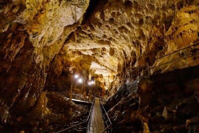
Fugro ROAMES delivers digital twin of New Zealand power grid network
GeoInformatics
Digital twins have become an actionable benefit for so many different industries in recent years as adjacent technologies like laser scanning, 5G networks, data sensors, among others, have improved and/or become more accessible for broader audiences. This article highlights one specific industry benefiting from digital twins, looking at how one power grid in the nation is using airborne lidar surveys as the base for their digital twins.
3D Models Show Coral Bleaching in New Light
Brittany Hook | UC San Diego
Among the most notable negative effects of climate change on the natural environment can be found with the planet’s coral reefs. Some of the most stunning areas on the globe, warming oceans are having adverse effects on these crucial ecosystems, and scientists are rushing to study these effects and find ways to mitigate them. As we’ve discussed at Geo Week News before, 3D scanning is being employed to study bleaching effects on coral, and this article highlights that same kind of workflow from a team of scientists from Scripps Institution of Oceanography at UC San Diego and Arizona State University.
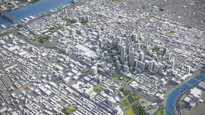
Reconstructing the Past
Kelsey Goodwin | The Columns
A main staple of this weekly column is projects that utilize reality capture technologies to help preserve history in various parts of the world, generally capturing the exact conditions of a significantl structure at the time of scanning. This week, we highlight a project by students from Washington and Lee University Summer Research Scholars. The group is using laser scanning technology to assist with a project known as “Florence As It Was,” creating an interactive map of the Italian city that is digitally interwoven with significant historical works of art.