Earlier this month in Las Vegas, Nevada, many of the biggest companies and operators in the commercial drone sector came together for the Commercial UAV Expo. (Note: Commercial UAV Expo is a sister event to Geo Week.) The annual conference and exhibition brings the commercial UAV industry together for one of the premier events on the yearly calendar, featuring over 225 exhibiting companies, more than 3,500 professionals in attendance, and over 150 industry leaders speaking on the conference program.
The conference runs the gamut in terms of industries represented, encompassing all of the growing number of sectors that are taking advantage of drone technology. That means use cases like drone delivery, law enforcement, and video streaming, among others, were featured. While those don’t necessarily line up with our coverage at Geo Week News, there is plenty of overlap in terms of concerns and key issues for all industries.
Additionally, as one would expect, the industries we do cover at Geo Week News were well represented at the show. That shouldn’t come as a surprise, as the geospatial industry – and surveying in particular – was among the earliest adopters of drone technology to help streamline their workflows and open up new project possibilities. Construction was also well-represented as infrastructure and other AEC projects are utilizing drones for many functions on job sites. With that in mind, below are three takeaways that we came away with after attending the three-day event.
Regulations Front of Mind
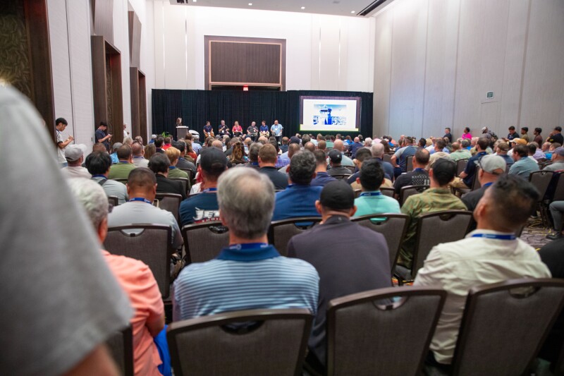
Speaking of concerns that affect all of the industries represented at Commercial UAV Expo, regulations were definitely one of the biggest focuses for nearly everyone in attendance at today’s show. The conference’s keynotes largely focused on news coming from the FAA, and understandably so given how important these rules are for everyone’s operations. You can read recaps of the two keynote sessions from our sister site, Commercial UAV News, here and here.
The biggest issue at hand in the realm of rules and regulations was certainly Part 108, a new proposed rule from the FAA that has been long-anticipated by many in the industry. In essence, when this ruling is passed it will be significantly easier for operators to fly beyond visual line of sight, commonly known as BVLOS operations. This assuredly affects the geospatial and AEC industries as well, as these operations would allow for more efficient surveying in complex environments as well as quicker inspections for widespread infrastructure such as power grids.
Although there were no concrete updates as to when this ruling can be expected to go into effect, there was an optimistic tone from the regulators. In one of the keynotes, Deputy Associate Administrator for Aviation Safety at the FAA Jody Baker said, “We are doing our best to keep shepherding (Part 108) through the system,” and that they are “still targeting for the end of the year to get that NPR (Notice of Approved Rulemaking) out there.”
Artificial Intelligence and Autonomy
As with any technology-focused event over the last few years, artificial intelligence and autonomy was a major talking point for many of the companies on hand for this year’s Commercial UAV Expo. The autonomy piece can always be a bit controversial for the UAV industry as there isn’t quite an agreed-upon definition for what “autonomous” truly means. For example, ViVUM AI spoke at the Exhibitor Showcases and talked about today’s autonomy not being the end goal. Still, whether it’s “true” autonomy or not, many companies on the show floor were showcasing their hardware’s ability to fly without human intervention for certain use cases, including surveying and mapping.
There were also plenty of software companies exhibiting whose products are able to take data collected with UAVs and turn it into actionable insights. As one might expect, AI is starting to play an increasingly large role in these products. Take, for example, Sharper Shape, whose digital twin software utilizes artificial intelligence for utility inspection. Their software takes imagery and/or lidar data and leans on AI to derive asset inventory and potential areas that would need maintenance, streamlining what can often be a tedious task of analyzing massive datasets created with these workflows.
Modularity is the Next Step
One of the biggest developments that has unlocked the true value of UAV usage in the geospatial and AEC industries is the shrinking of sensors without sacrificing power. Now, sensors like lidar and high-resolution RGB cameras can be used as drone payloads without having to give up much in the way of flight time, making the investments into these UAVs worth it for these organizations.
Now, the next step in this evolution is modularity for these drones to allow for these drones. Aurelia Aerospace is one example of a company who was exhibiting at this year’s show and highlighting their modularity. They offer configurable frames for different payloads, meaning that a project which may require a couple of different sensors no longer requires different UAVs to accommodate the payloads. With the worker shortages and growing demands for geospatial and AEC professionals, any development that encourages quicker workflows will be welcomed with open arms.