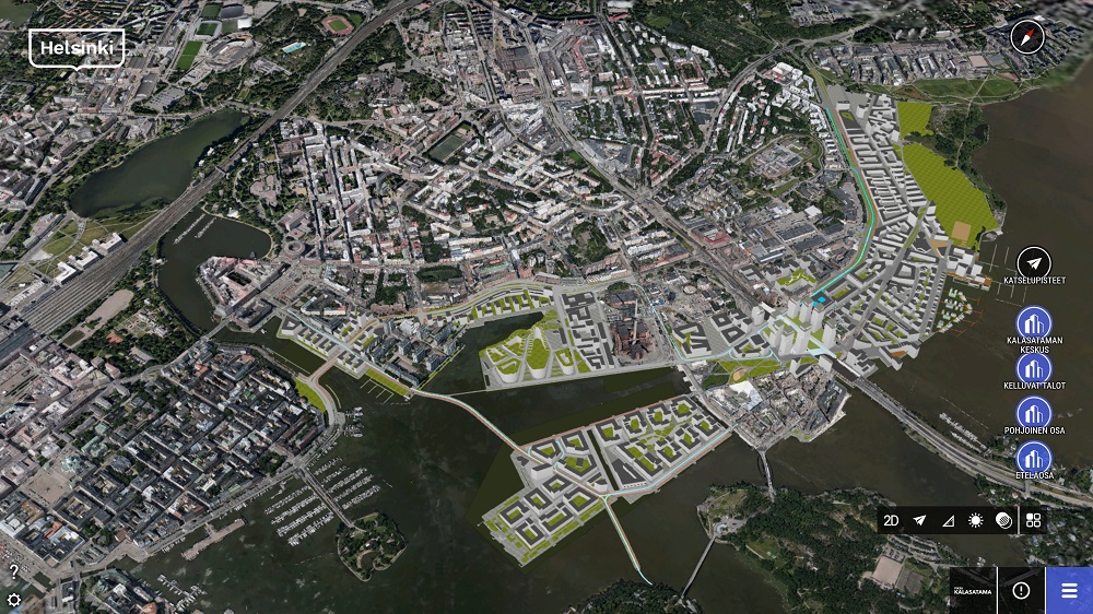
Bentley Systems helps infrastructure owners, planners and contractors take advantage of their data through digital twins of physical projects and assets. Robert Mankowski, VP of Bentley Systems’ Digital Cities business unit, explains how stakeholders can realize the value of digital twins and take better planning and operations decisions.

Robert Mankowski, VP of Bentley Systems’ Digital Cities business unit
The digital transformation of infrastructure is taking place, whether it’s a project site, smart building, plant, utility or an entire city. Bentley Systems is focused on enabling the organizations that work in the infrastructure industry that plan, design, build and operate infrastructure to leverage digital twins to improve their work. A central concept of this digitization process is the digital twin: a virtual replica of an asset that’s more than just a digital model. It can be a copy of a physical product, process or system that connects the physical and digital world.
Realizing the value of digital twins
Although many people recognize the potential of digital twins for things such as analytics, artificial intelligence and simulations, the challenge today is to realize their value. This is now possible through practical solutions that bring together the data from different disciplines and synchronize those across the lifecycle, so that a digital twin always reflects the current state of the asset, says Robert Mankowski, VP of Bentley Systems’ Digital Cities business unit.
He continues to explain how Bentley Systems is helping cities take advantage of all their data and bring these together to make better decisions about planning and operations: “Our core competency is in the engineering technologies (ET) and converging them with operational technologies (OT) and information technologies (IT), to deliver an open, connected data environment that enables digital twins.”
A digital twin requires data from operational technologies, so it can understand the current state of the project or asset. Combining the data from engineering technologies into a digital twin enables simulations, so that users can try out different scenarios or predict the performance of an asset. “This is all possible through Bentley Systems’ iTwin Services, a set of cloud services that enable organizations to create, visualize and analyze the digital twins of their infrastructure projects and assets,” adds Mankowski.
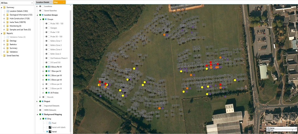
Keynetix.cloud geotechnical knowledge management system streamlines geotechnical workflows and enables easy access to project data.
Creating a digital twin for the subsurface
Early May 2019, Bentley Systems announced the acquisition of Keynetix, a UK-headquartered provider of cloud-based software for capturing, visualizing, modeling and sharing geotechnical data. The acquisition of Keynetix accelerates Bentley’s vision of enabling subsurface digital twins and assets, as well as expanding their geotechnical offerings. Mankowski comments on the recent acquisition as follows: “We’re adding the Keynetix capabilities to an already-strong portfolio of geotechnical, engineering and analysis through our PLAXIS and SoilVision products, as well as our gINT information management applications. Bringing that all together, we can enable a digital twin for the subsurface.”
However, creating a digital twin of the subsurface is not directly possible, stresses Mankowski: “It’s about sampling and bringing data together, because we can’t directly observe the subsurface environment. To the extent that we can gather all the available data and put it together in something that can be visualized and analyzed, it then helps to inform decisions and reduce that risk, for example through subsurface utility engineering activities such as surveying and vacuum excavating.”
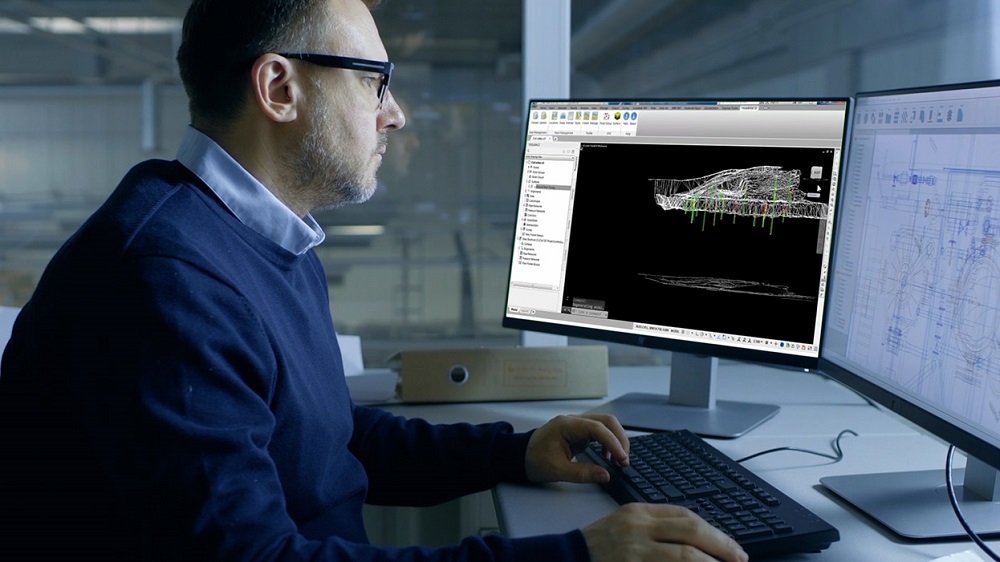
HoleBASE SI helps users easily enter, analyze, and visualize site investigation data.
Creating, updating and analyzing digital twins
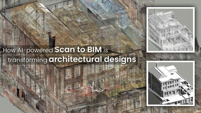
Additionally, the Keynetix acquisition helps Bentley Systems to mirror to the best extent possible the physical reality of the site or assets. Bentley’s ContextCapture software helps users create this digital context, as it uses both LiDAR and photogrammetric images to create a reality mesh, which has the geometry and physical appearance of the asset.
In addition to the digital context, Bentley Systems wants to bring in data from engineering technologies, which requires aligning engineering data, also referred to as digital components. Mankowski explains: “Because projects and assets are continuously changing, we need mechanisms to make sure the digital twin stays up to date and has fidelity. Our iModelHub cloud service can bring together the reality modeling and asset data that can be linked with OT data and visualized in 3D and 4D on the web in an open, connected data environment.”
Using the concept of a citywide digital twin of the infrastructure, Bentley enables cities to create, visualize and analyze their data. For example, bringing together data for urban planning purposes and making it available to internal stakeholders of different departments within the organization of the city, as well as citizens, through mobile technology.
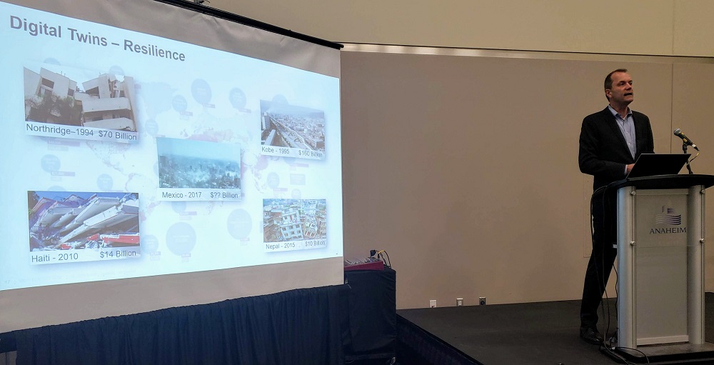
Robert Mankowski presenting during the SPAR 3D Expo & Conference
Examples of digital twin enabled services
By providing digital twin-enabled services, Bentley Systems can help cities to become more resilient. This is exemplified by a number of use cases from all over the world where digital twin-enabled services are currently being used. “The city of Lisbon, Portugal used Bentley’s analytical modeling capabilities for hydrological events to optimize flood mitigation measures, balancing implementation cost and reducing risk.” Mankowski adds: “There’s a lot of concern about flooding and its impact on the critical infrastructure of cities. We’re bringing together different technologies to help cities understand their flood risk and what they can do to minimize the negative impacts from flood risk, using digital simulations.”
Also, there’s a convergence of construction modeling and reality modeling capabilities. For example, Bentley has been doing a lot with 4D construction engineering to understand how construction projects should be performed and create 4D simulations of the construction sequencing so problems can be identified and addressed. Mankowski adds: “There’s a large chemical plant construction project in Pennsylvania. The project team is flying drones over that site weekly to process these images in 2D and 3D, so that they have an updated reality model of the entire site. This is helping the stakeholders understand the activities on the site, where their equipment is and how it’s being deployed. The data is also used for emergency response cases.” Additionally, Bentley is working together with Microsoft on its HoloLens2 to help stakeholders understand a project in a new way, by bringing data into an augmented reality device, and creating an immersive visualization environment.
Discussing operations, Mankowski states that reality modeling is used for inspection workflows, where digital twins of assets are created with point clouds and reality meshes, so that cell phone towers can be inspected without having to climb them, improving safety and efficiency. The same thing is happening on buildings and campuses, where thermal and drone imagery is analyzed with artificial intelligence to identify and categorize defects, such as water leaks. Using AI, a 3D reality mesh is used as the basis for identifying objects such as buildings, facades, building roofs, vegetation and cars.
In conclusion, Mankowski adds that digital twins are no longer a promise, but a reality: “Digital twins are here now. For the future, we want to help infrastructure owners, planners and contractors to move beyond recognizing their potential to realizing their value and enabling a digital twin ecosystem to help transform the understanding and performance of infrastructure projects and assets.”


