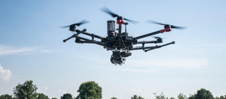
The eighth episode of the Points + Pixels podcast includes an interview with GeoCue Group’s Vice President of Special Projects, Martin Flood. Martin is an experienced Lidar technologist who joined the industry in 1991. We’ll discuss his role at GeoCue, their technology offering, and the state of the industry.
GeoCue Group was founded in 2003 by a group of engineers with extensive experience in developing hardware and software solutions for primary remote-sensed data acquisition. GeoCue’s initial products were aimed at reducing schedule and cost risk in geospatial production workflows by providing organizational, productivity and data management tools for base geospatial data production. In 2014, GeoCue Group started a division focused on using small, unmanned aerial systems (UAS) for high accuracy mapping. Leveraging our expertise in production, risk reduction, and point cloud processing tools, we are continuing to bring new services and products to market to provide surveyors and other geomatics professionals exciting tools for geospatial data extraction using low cost drones.
Relevant Links
- YouTube: https://www.youtube.com/user/GeoCueLab
- Website: https://geocue.com/


