BERLIN, Oct. 7, 2014—Trimble (NASDAQ: TRMB) announced today a new version of its photogrammetric software suite—Inpho® version 6.0, which provides highly automated workflows for photogrammetry and remote sensing professionals so they can process thousands of airborne images with high precision. Inpho version 6.0 increases efficiency by reducing project turnaround times and improves the quality of deliverables via new automated and interactive tools and satellite triangulation functionality.
The announcement was made today at INTERGEO 2014, the world’s largest conference on geodesy, geo-informatics and land management.
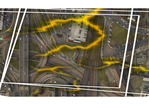
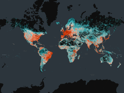
A new satellite triangulation function in Inpho version 6.0 allows professionals to quickly generate deliverables from satellite imagery data and expand their capabilities, addressing the needs of industries such as environmental, forestry, agriculture and land management. Automatic tie point extraction and bundle block adjustment provides improved orientation of satellite images. The highly automated process results in a significant reduction in office processing time so projects can be delivered with quality precision in a shorter turnaround time.
Inpho version 6.0 also includes new automated, interactive tools that simplify workflows. LiDAR data processing time is significantly reduced with the introduction of a tool for automatic flight line adjustment. Enhanced point cloud algorithms and new data checking tools ensure photogrammetry and remote sensing professionals can create the precise deliverables required for their clients.
“With the accelerating number of satellite launches expected over the next decade, Earth Observation satellites will produce an unprecedented amount of datasets in various formats that can be processed and analyzed,” said Alain Samaha, business area director of GIS and Software for Trimble’s Geospatial Division. “Inpho version 6.0 enables and prepares photogrammetry and remote sensing professionals to make the best use of this data today. This ultimately produces highly accurate deliverables, including digitized vector maps, height models, point clouds and orthomosaics.”
Availability
The Inpho version 6.0 software suite is available now through Trimble’s Inpho Distribution Channel. Customers with a current maintenance contract will receive the updated version automatically. For more information, visit: www.trimble.com/inpho.
About Trimble
Trimble applies technology to make field and mobile workers in businesses and government significantly more productive. Solutions are focused on applications requiring position or location—including surveying, construction, agriculture, fleet and asset management, public safety and mapping. In addition to utilizing positioning technologies, such as GPS, lasers and optics, Trimble solutions may include software content specific to the needs of the user. Wireless technologies are utilized to deliver the solution to the user and to ensure a tight coupling of the field and the back office. Founded in 1978, Trimble is headquartered in Sunnyvale, Calif. For more information, visit: www.trimble.com.
GTRMB
Contact:
Lea Ann McNabb
Media
+1 408-481-7808
[email protected]


