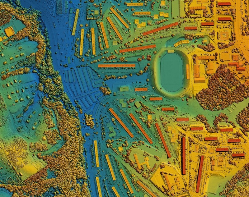
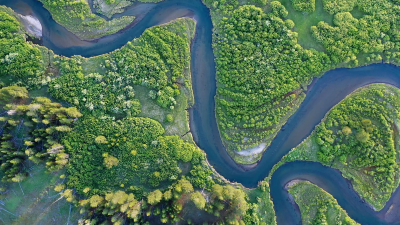
Reston, VA | August 21, 2024 - The 3D National Topography Model (3DNTM) Data Collaboration Announcement (DCA) provides a vehicle for partnering with the USGS and other Federal agencies to acquire high-resolution 3D elevation and 3D hydrography data. The partnerships foster collaboration across the nation to respond to a growing need for high-quality elevation and hydrography data which benefit society in an array of nationally significant applications including flood-risk management, alternative energy development, natural-hazard evaluation and mitigation, agriculture, and conservation.
In addition to USGS appropriated funds, up to $1 million was made available under the Inflation Reduction Act to be invested in 3DEP projects in fiscal year 2025.
“We would not be where we are today without the support of our partners,” said Dr. Michael Tischler, Director of the USGS National Geospatial Program. “Collaboration is essential to the success of the 3DNTM, and we value all of the project submissions received through the DCA.”
Applicants may contribute funds toward data acquisition acquired through the USGS-managed Geospatial Products and Services Contracts or they may request 3DEP or 3DHP funds toward data acquisition where the requesting partner manages the data acquisition contract. Federal agencies, State and local governments, Tribes, academic institutions, and the private sector are eligible to submit projects through the DCA.
Project submissions are due by 5:00 p.m. Eastern time on September 13, 2024.
For more information, contacts and to watch a recorded webinar about DCA, please visit the FY25 DCA webpage at https://www.usgs.gov/3DNTM/DCA.
Questions about the DCA can be submitted to 3dep_dca@usgs.gov or 3dhp_dca@usgs.gov.
Source: USGS


