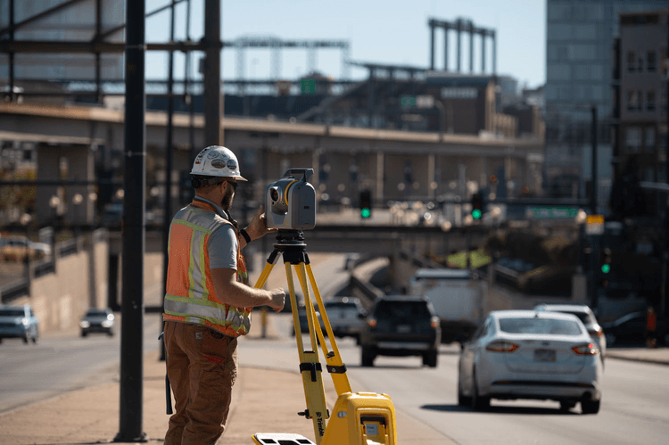
With the new SX12 scanning total station that integrates surveying, imaging and 3D scanning capabilities, Trimble offers a single instrument for any type of surveying project. The instrument merges high-speed 3D laser scanning, Trimble VISION imaging technology and high-accuracy total station measurements into familiar field and office workflows for surveyors.
The SX12 is a high-accuracy total station and captures high-quality scan data: it has a 1″ angular accuracy, 1.5 mm scan range noise at 200 m and a 14 mm diameter EDM laser spot at 100 m. Even at long range, the data capture is quick, with a 26.6 kHz scan measurement rate up to 600 m. The total station measuring time in prism mode is 1.6 s, while in DR mode this is 1.2 s. A new green, focusable Class 1M laser pointer is safe for viewing with the naked eye, offers high-power visibility and easy to see even at a distance. The laser pointer is very small, bright, and still eye-safe and has a 3 mm diameter laser pointer spot at 50 meters. The SX 12 offers simple navigation and documentation with a Trimble VISION camera system, which consists of three integrated and calibrated cameras in the telescope.
One instrument for multiple different surveying projects
Versatility is the keyword to describe the new SX12: Trimble lists no less than fourteen different applications that use total station functionality with high-speed scanning and imaging, such as boundary and land title surveys, topographic surveying, stakeout, surface inspection and underground mine surveys, among others:
Topographic data collection, stakeout and surface inspection
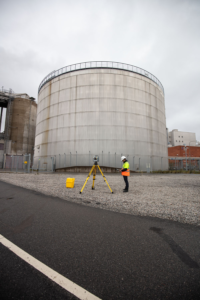 The Trimble SX12 enables surveyors to benefit from the same workflows from a robotic total station, but also the high-end 3D laser scanning and imagery. The SX12 enables high productivity and reduces the need for site revisits because it offers scan data and imagery as a backup.
With regards to reflectorless measurements, the SX12 has new integrated cameras that stream live video feed into Trimble Access on the data collector, so that surveyors can now take measurements without being at the total station. This removes the need to point and sight the total station, which can be done on the data collector.
Staking out points is one of the most common surveying workflows. The SX12 can automatically stake out points with a one-person survey crew. The integrated laser pointer is very useful for staking out late in the evening or early in the morning with dark light conditions. For surface inspections, color-coded point clouds can be referenced to instantly identify surface irregularities, whereas issues in the field can be marked with the laser pointer.
Boundary and land title surveys
Boundary and land survey features such as boundaries, buildings, easements and site improvements can be documented with the surveying and scanning capabilities of the SX12. Regarding the scanning capabilities, all topographic shots and total station measurements sit inside the same Trimble Access project as the scan data. When that Trimble Access job is imported into Trimble Business Center, this gives the user not only their topographic measurements but also the scan data that’s automatically geo-referenced to their survey control, which saves them a lot of time.
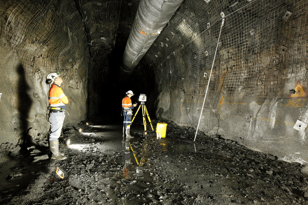
Tunneling and underground mining surveys
The instrument’s laser pointer and Trimble Access Tunnels field software can also be used for underground construction surveys, TBM (Tunnel Boring Machine) guidance and more. Staking out of mining features for underground mine surveying is done using the laser which can then be scanned to collect georeferenced point cloud data. As green lasers are preferred by builders and tradesmen, Trimble decided to follow user preference and boost it even further by making it autofocusing.


![Trimble SX12 fig1[1]](https://divcomplatformstaging.s3.amazonaws.com/geoweek.divcomstaging.com/images/58df6257f9c419304d7571c8c5294baa.png)
