To be a successful startup, it helps to have a new idea, rather than a slight improvement. The same is true for the geospatial industry, where startups and new companies are not just aiming to refine existing processes, but hoping to fundamentally change how problems are solved. Rather than working within established constraints, these companies are finding new ways to approach efficiency, automation, and scalability.
This spirit of disruption was on full display at Geo Week’s Startup Pavilion, where emerging companies showcased bold solutions to longstanding industry challenges. From modular drone power systems to AI-driven infrastructure inspection and smarter data processing, these startups are demonstrating that geospatial technology is at a turning point. Here’s a look at some of the most compelling innovations from the event.
Enabling the best of both worlds

Drones have become a critical new tool in mapping and other sensor work, from taking photos to delivering packages. One challenge that has been hard to overcome, however, has been the limitations on range and flight time when it comes to powering the drone. There are advantages to different types of fuel (batteries, hydrogen, gasoline), but each has its upsides and downsides. Operators are usually stuck choosing a drone platform with one of those fuel types, and it is expensive to invest in two different drones if you have a variety of use cases you need to fulfill. Arcsky has entered the market with an idea to address this: a modular fuel system that can be swapped out quickly for the needs of different jobs.
With a quick-change that involves four clips, the same drone can be swapped over from a battery power to one powered by gasoline. This allows drone service providers to use the same drone for different scales of projects. On smaller projects, the battery is more than capable, and for longer flight times, a switch to gas without having to invest in a larger, gas-powered drone.
A ‘clever’ approach to infrastructure inspection
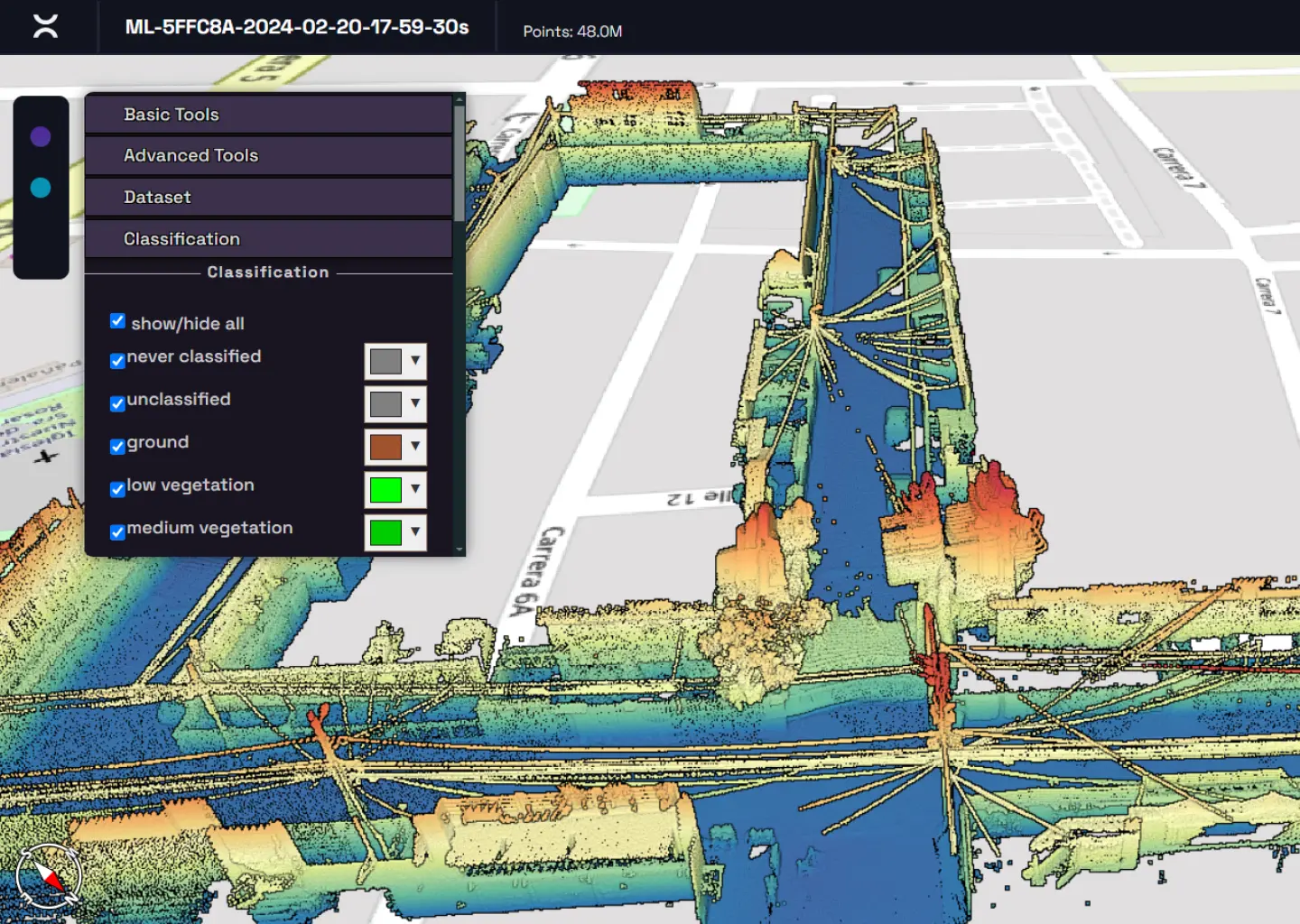
Born out of a need to classify and identify power infrastructure assets such as electric poles and wires, Clevertwin turns the autoclassification workflow on its head. Technology for auto classifying and segmenting a lidar point cloud is still relatively new, and imperfect in current implementations. For some workflows, it still isn’t easy to tell the difference between a building, a fence and other nearby objects.

What Clevertwin does that is different than other similar software is to take advantage of AI that is far more advanced - image recognition. By first processing the images to recognize hard-to-see assets - like electric poles that are against or inside of building façades - they can then push that classification into the point cloud to make the segmentation output more accurate.
Customizing geospatial solutions
Sometimes innovation comes in the form of a different business model. For Makepath, they saw that many companies were seeking different types of geospatial data and insights, but didn’t know how or where to get those insights. Makepath’s business mode is to develop custom geospatial and AI software in an open source Phyton ecosystem. They meet with customers, try to truly understand the end data they are looking for, and then build a solution that draws on their in-house expertise to build. They emphasized in our conversation that their business model is not just to push a certain technology, but to truly understand the needs of the users, and then identify what can be pulled off the shelf and knit together to actually solve the problem.
Selling the insights, not the raw data
Another company that seems to be flipping the script on business models, this time in the commercial satellite industry, is NOVI. The commercial satellite industry has struggled to find a market, despite a lot of investment in its capabilities. Part of this issue is the business model: there are just not that many people who are willing to or have use to buy the data coming from satellites and also then apply more time and effort into interpreting that data stream.
NOVI’s approach is to take advantage of advances in edge computing to process satellite data on board the satellite, and allow an API-style connection or ecosystem to pull down only the answers that are needed. For example, if a company wanted to know how many boats are in a harbor, they could purchase satellite data and then do a lot of post-processing analysis or even manual work to count those boats. But with NOVI, they could “task” the satellite with finding out how many boats are in the harbor, and the computing could be done onboard the satellite, transmitted back for far less of an expense. By setting up a constellation of smallsats, the company hopes to open up the platform to developers to have a portal to upload their own software to get the answers that they need. (This new approach also earned NOVI a “Pitch the Press” award for Geo Week.)
Generating value from collected data
Companies are good at collecting data these days, but not great at analyzing it. Enter PixElement, a geospatial technology company that develops software for processing aerial imagery into detailed 3D geospatial data. Using proprietary image processing algorithms, the platform works with imagery from drones, planes, and satellites to generate accurate models and measurements. Its distributed processing system enables users to work with extensive imagery files without size limitations, addressing common challenges in geospatial data processing. By focusing on speed, scalability, and precision, the company aims to make high-quality 3D mapping more accessible to a range of industries.
Streamlining workflows, reducing manual labor
Rapida is a company that offers a Software-as-a-Service (SaaS) platform designed to enhance infrastructure inspection and maintenance. Their solution utilizes high-resolution 2D imaging, often captured via drones, to construct detailed 3D models of structures. These models are then analyzed using artificial intelligence to detect potential defects, such as cracks, enabling asset owners to prioritize maintenance efforts effectively. This approach not only accelerates the inspection process but also reduces the need for extensive manual labor, addressing challenges posed by a shrinking workforce in the engineering and construction sectors.
A notable example of Rapida's impact involves a dam owner who initially considered shutting down the structure due to numerous visible cracks. By employing Rapida's system, over 1,000 potential defects were identified; however, only five were deemed highly severe. This precise assessment allowed the owner to focus on critical repairs, keeping the dam operational and avoiding unnecessary downtime.
Pushing boundaries
Whether through new approaches to data processing, smarter classification methods, or entirely reimagined business models, these companies are pushing the boundaries of what’s possible in geospatial technology.


