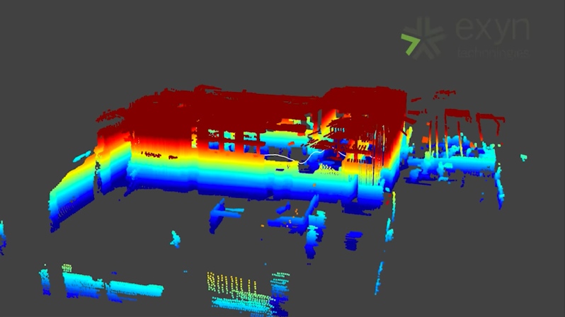
Exyn Technologies has been making waves over the past week following the announcement of their autonomous indoor navigation software for drones. The solution is intended to help drones find their through (and map) spaces with complex obstacles and a total lack of GPS.
To use the solution, a user indicates a goal or final destination for the drone to navigate over to. The drone begins by locating itself in space and generating a 3D map of its surroundings (using a SLAM algorithm). Next, the drone leverages an AI to plan its path to the goal. The drone refines its approach as it moves through the environment and gathers more information about the obstacles in its way.
Exyn’s CEO has said that the drone could be helpful for mapping dark mine shafts and construction projects. Such technology could also be useful many scenarios that require regular updates to a 3D model, including facilities management, security, and more.
Detailed technical information is thin on the ground, but the drone’s AI self-direction capabilities seem to be the differentiating factor for Exyn’s solution. Exyn told TechCrunch that the AI will work “with any type of unmanned vehicle,” from DJI drones to more specialized research rigs.
As for the sensors supported the solution, it’s hard to say—though Exyn says they are using “multiple sensors from different parts of the spectrum,” and the results of the 3D capture schematic in a way that recalls the sensors in Google’s Tango devices. If the solution doesn’t support scanning methods with high enough accuracy, that could be a sticking point for many industrial applications.
Exyn says in the future the AI should be able to integrate data from cloud-based sources. The company is also working on finding other ways that the drones can interact with objects in their environments.


