Gexcel’s OPMMS software now part of Optech’s ILRIS TLS
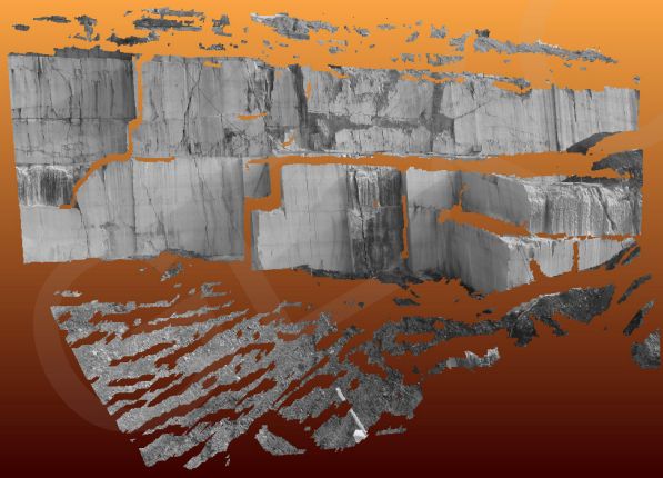
Optech Inc. said Monday it integrated Italy-based Gexcel Srl’s Open Pit Mine Monitoring System (OPMMS) software with its ILRIS terrestrial scanner to provide automatic, real-time, 3D data monitoring and analysis of landslides and other hazards and remote activation of lights and emergency horns.
Toronto-based Optech said the OPMMS automates data capture and processing of the targeted area in order to track mine safety hazards, measure production or manage landslides by controlling the scanner through a web-based application.
The software applies automatic filters and analysis to the scanned data and then sends automatic operational reports with inspection and displacement graphs directly to the user.
OPMMS can also send automatic alerts by email, alarm or text messages if the targeted area exceeds defined safety thresholds. The system’s interface allows ILRIS users to manage scans and image lists, compare before and after scans, and automate scan time setting.
Gexcel’s lidar and imagery analysis software packages are based on its JRC 3D Reconstructor software, which is compatible with all terrestrial, mobile and airborne scanners. Spun-off from Italy’s University of Brescia in 2007, Gexcel applies research from the European Commission’s Joint Research Centre (JRC) to create products and services for the geomatics industry.
VIDEO: Check out Gexcel’s OPMMS video
Toronto-based Optech offers standalone and fully integrated lidar and digital imagery services in airborne mapping, airborne lidar bathymetry, mobile mapping, terrestrial laser scanning, mine cavity monitoring, and industrial process control. Tech giant Teledyne Technologies Inc. acquired a majority stake in Optech in April 2012 for about $28 million. Optech had sales of almost $55 million for its FY2012.
VIDEO: Optech and Gexcel previously collaborated on mining app


