With Intergeo taking place this week in Stuttgart, Germany, many of the major players within the geospatial industry are showing off new products at their booths for this year’s event. That of course includes RIEGL, who announced four new products to their portfolio this week. Geo Week News, being in attendance at this year’s Intergeo, had the chance to speak with RIEGL USA’s Division Manager for Unmanned Laser Scanning, My-Linh Truong, about the new products at the company’s booth.
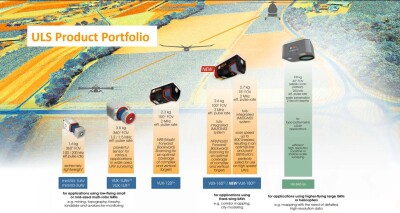
Given Truong’s position in the unmanned laser scanning division within RIEGL, it makes the most sense to start with the newly announced VUX-100-25, the company’s newest lidar system for small UAS platforms. The system takes on the same form factor as its predecessors, but with a measurement rate of up to 1.3 million measurements per second, a scan speed of up to 200 lines per second, and an operating flight altitude of up to 1,200 feet. The VUX-100-25 is a nadir scanner with an increased field of view of 160 degrees, with Troung noting it is a particularly strong option for surveying areas like canyons and mines.
Integrated into the VUX-100-25, as well as the VUX-120-23, is the new RiLOC-F, the latest in the company’s line of MEMS IMU/GNSS solutions. The new offering in the RiLOC line comes with improved performance over the RiLOC-E, according to Truong, and all of the components are contained within a small system that can attach to the UAS lidar systems mentioned above.
In addition to these new releases for lidar surveying with UAVs, RIEGL also announced two more new products for larger scale surveying and mapping projects. That includes the new RIEGL VZ-4000i-25 terrestrial laser scanner, a long-range scanner that RIEGL notes is suited for applications in mining and topography, as well as in cultural and natural heritage documentation.
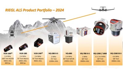
Finally, the company also announced the release of the new VQ-1560-III-S to their airborne mapping suite of scanners. The dual channel laser scanning system includes a cross-fire scanning pattern that enables a forward and backward view to the edges of the swath and a nadir view in the middle of the swath, which RIEGL says results “in best point distribution for optimum target sampling.” The scan pattern makes it an option for a variety of project types, from ultra-dense corridor mapping to large-scale wide area mapping projects.