A recent joint webinar from RIEGL and Mach9 discussed advancements in mobile mapping in terms of hardware and software. Viewers were also given a preview of Mach9’s soon-to-be-released Digital Surveyor software for automating geospatial production and feature extraction from mobile mapping data.
The future of mobile mapping
Mobile mapping advancements can be measured in both improvements in the field and the office. New systems that use a different approach to capture data in the field and hardware updates are examples of collection advancements. Module additions and the integration of AI algorithms are examples of software advancements that are used in the office.
Because cameras do a better job at identifying assets than just laser data alone, a camera is crucial for asset extraction. As the market is pushing for higher MP cameras to be integrated with lidar systems, RIEGL has made several updates to its camera systems that are integrated with its mobile laser scanning systems, including the integration of the Ladybug6 panorama camera and the RIEGL 24 MP camera. The Ladybug6 is a 72 MP panorama camera that works with RIEGL's both VMY, VMQ-1HA, and VMX-2HA systems.
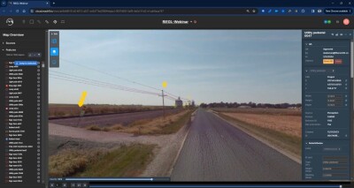
After capturing mobile mapping data with RIEGL’s RiACQUIRE software, and processing and editing it with RiPROCESS, Mach9’s Digital Surveyor performs the feature extraction. Although data is collected faster than ever before, data processing and extraction have taken a lot of time. Mach9 wants to help partners make extraction nearly as fast as data collection.
- An AI feature extraction tool for automated asset extraction from 3D data;
- QA/QC tools to validate and edit AI-generated workflows;
- Workflow integration with existing CAD and GIS tools.
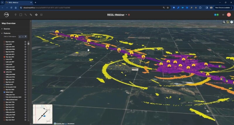
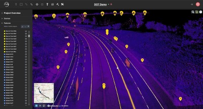
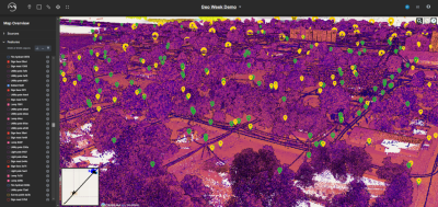
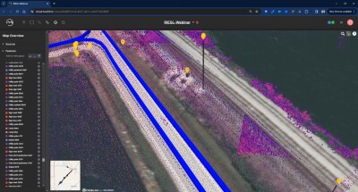
The demo included a dataset containing 7,590 assets that were automatically extracted in 11 hours and 42 minutes. These were collected during a 108 miles mobile mapping trajectory. The 3D assets were extracted automatically by the software, after which quality assessment takes place. The imagery shows screencaps from the live demo, showing a 3D point cloud, extracted features, and related camera imagery. Using opacity, it is possible to blend the point cloud data with the camera data to get a better view of the scene.
Next, the resulting AI-generated maps can be delivered into CAD and GIS software. Mach9 provides customizable leveling and schemas to do this. A menu inside the software provides different export data formats for downstream use. The list of features that Digital Surveyor can extract includes light poles, utility poles, pedestrian crossing signals, traffic lights, pedestals, signage, sign structures, cabinets, hydrants, ballards, manholes, and a growing list of linear and object features.


