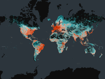
Overture Maps published a case study that covers Steering Member TomTom’s efforts in normalizing the transportation network data it contributes to Overture. Additionally, it covers how the data is cleared of inconsistencies. The case study gives users of Overture data a glimpse of what is required before location data is ready for consumption, and how to update existing community-based mapping practices to meet market requirements of map consumption.
Transportation Network data
TomTom’s Transportation Network data includes maps of roads, railway, and ferry routes, pedestrian paths, and more. The Transportation Network is primarily sourced from OpenStreetMap, an open-source, collaborative, community-based mapping effort. One challenge that arose over time when updating the database was that changes in road segment attributes required splitting a single feature into multiple features. This resulted in millions of added road sections in a single year. These new sections also had to be associated with existing features, requiring costly data updating procedures for application developers.

To solve such problems, TomTom recognized the need to decouple road IDs and their attributes, so that a road ID would remain the same even when its related attributes would change over time. This led to the creation of GERS IDs, where GERS stands for Global Entity Reference System. GERS IDs are designed to be associated with uniquely identifiable roads that emphasize the geometric identity of the road over its attribute variations
How GERS IDs benefit Orbis Maps users, applications, and datasets
TomTom generates the GERS IDs for Overture’s Transportation network data. GERS is a critical component of Overture, as it provides a universal framework for structuring and matching map data across different systems. GERS IDs enable data interoperability within the Overture transportation network and facilitate better integration and management of diverse datasets associated with the transportation network. They also facilitate different applications, including asset management and road maintenance, traffic management and analytics, and more.
GERS does not only benefit users of Overture Maps’ data. It is also one of the two main pillars of TomTom’s Orbis Maps. A GERS ID means that every item on the map has a unique ID that will not change, which benefits developers working on maps or developing features and tech with maps. The other pillar is an open standard, one without the shortcomings of previous open mapping standards, such as being open to vandalization. Instead, TomTom validates and standardizes data and consumption to make Orbis Maps ready for enterprises to use.


