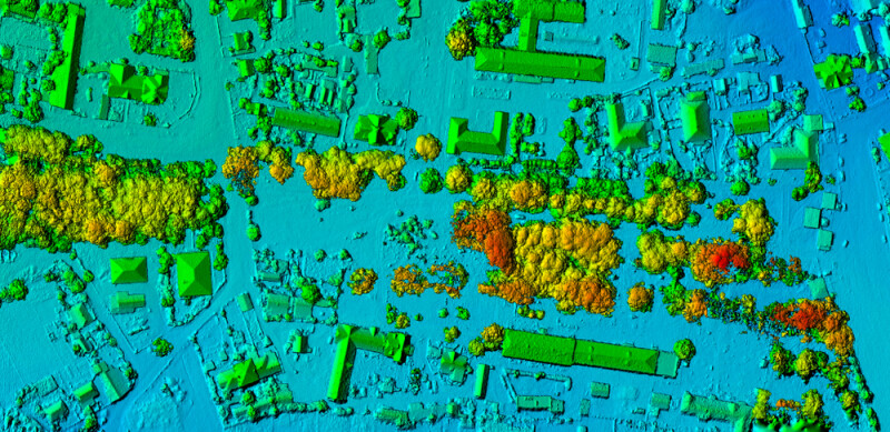
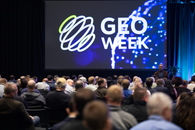
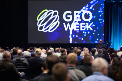
Last month, NV5 hosted a new event for them called Geo Sessions, building off of previous virtual events they’d held in the past. This three-day virtual event provided a way for geospatial professionals working in areas that are being disrupted by new and improving technologies to hear from leaders and long-time professionals talking about these technologies. Prior to the event, we spoke to NV5’s Kevin Weiner about the event and what they were hoping attendees would be able to take away from the discussions and presentations.
Geo Sessions was formatted in such a way that attendees could maximize their takeaways and insights specific to what they were looking for. Each of the three days followed the same format – the session started with a panel discussion that lasted just after an hour, which were followed by a pair of roughly 30-minute presentations from industry thought leaders. Additionally, each of the three days focused on specific topics, with day one centering around spectral remote sensing, day two focusing on SAR, and day three finishing things up with a lidar-focused day. Below are some of the takeaways we had from each of the days of Geo Sessions.
The first day, with a focus on spectral data, started with a fascinating panel discussion entitled Where is Spectral Headed? The conversation was moderated by Planet Labs’ Dr. Keely Roth and featured a panel of Megan Gallagher of Pixxel, Adam O’Connor of Wyvern, Dr. Emmett Ientilucci of Rochester Institute of Technology, and David Blair of Headwall Photonics.
This discussion dove into a lot of important topics about the current state of hyperspectral imagery and the many use cases to which it can be applied. That includes some of the world’s most important problems, for which O’Connor said HSI has the “broadest potential” among all remote sensing modalities to “solve some of our most challenging global issues.”
The panel talked through some of those use cases and the importance of hyperspectral imaging, and also provided some crucial advice both to those just getting into the space and those who are welcoming newcomers. Blair, for example, made the point that it’s important to acknowledge it is not the solution for everything, while Gallagher spoke about the importance of making it easier to get started working with this data.
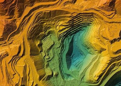
The presentations that followed this initial panel discussion were just as interesting, digging into the work being done by two organizations with this data. The first presentation, given by USGS’ Raymond Kokaly, talking about their Earth Mapping Resources Initiative, or Earth MRI. He discussed how spectral remote sensing is being used in this work, which is being used to help provide greater detail of the mineral resources throughout the United States.
That presentation was followed by one from Dr. Philip G. Brodrick from NASA’s Jet Propulsion Laboratory (JPL) regarding their EMIT program. He discussed how the spectrometer was created and shared slides showing off the crucial data collected from this program.
Day two of Geo Sessions kicked off with a panel discussion centering around all of the different ways SAR data is being used to monitor changes. The panel was moderated by Dr. Emlyn Hagen from NV5, who was joined by Dr. Dr. Salvatore Stramondo of Istituto Nazionale di Geofisica e Vulcanologia, Patrick O’Keefe from NATA Centre of Excellence for Operations, Andreas Müterthies of EFTAS, and Marc Lafitte from the International Atomic Energy Agency.
While the panelists all came to the discussion from slightly different angles, they shared plenty of similarities in how they are thinking about this work with overlap in the applications to which they spoke. The panel discussed, among other topics, why SAR is so valuable compared to other remote sensing data, and particularly how it can be used to monitor changes from both natural phenomena like disasters as well as human-caused detriments. O’Keefe, for example, spoke about how NATO is using SAR data to monitor changes along the coastline as climate change continues to evolve. They also talked about the use of SAR for detecting early warnings for some disasters, including some of the challenges around this kind of work.
Following that panel, there were a pair of presentations with fairly different ways of utilizing SAR data. The first presentation was given by René Mania from Airbus Defence and Space, focusing on 4D Urban Growth. The presentation talked about the mass urbanization being experienced around the world and how governments and other organizations must monitor buildings and infrastructures in urban areas to manage this growth. He followed on to outline how SAR imagery can be used to create estimated height maps for these areas, discussing why this has traditionally been a major challenge and why strides in AI have helped make it a more realistic endeavor.
Following that presentation, Dr. Robert Siegmund from GAF spoke about the European Ground Motion Service, which uses SAR data derived from Sentinel-1 to detect and measure ground movements across Europe. In his presentation, Dr. Siegmund talked about how SAR is utilized in this work, ran through some of the data collected as well as some of the organizations who use the data, and gave tangible examples of this usage.
The lidar-focused day began with a panel entitled Topobathymetric LiDAR - Evolution, Innovation, and Future Directions, focusing on some of the big shifts made around lidar over the last few years. This discussion was moderated by Russ Faux from Applied River Analytics, who was joined by Hexagon’s Anders Ekelund, Field’s Charles de Jongh, USGS’ Vicki Lukas, and Brent Edwards from Communaute Metropolitaine de Montreal.
This discussion, as the name suggests, focused on the development and recent improvements made specifically around topobathymetric lidar systems. Throughout the discussion, they outlined the history of these systems, showing how we got to the current-day capabilities and some of the key innovations that have led to the capabilities we have today. The mix of panelists made for plenty of insights from all perspectives, with those like Ekelund speaking from the manufacturer perspective, Jongh from the service provider point of view, and Lukas and Edwards from the public organization standpoint.
In addition to the outline of history, the panel talked about some of the reasons why lidar-based bathymetric work may be preferable to more traditional bathymetric surveying and where the future is headed in this space, speaking to specific projects they have been involved with utilizing these tools.
Finally, the third and final day of Geo Sessions ended with a pair of different but interesting lidar-based presentations. The first was given by Eirc Brown from Sacramento Municipal Utility District, speaking about how important lidar has become in his team’s work. Specifically, he presented about the organization’s usage of lidar for managing risk and monitoring vegetation growth around utilities. He discussed how exactly they are leveraging this data, showing what the deliverable with which they’re working with looks like, and the use of AI to easily detect change over time in vegetation.
Finally, NV5’s Ron Chapple gave a presentation called Demystifying Digital Twins, talking about how these tools are so important and why lidar provides the ideal base data on which to build the digital twins. His presentation touched on some of the crucial work that has been done using this technology – including the discovery of cities from Mayan civilization using lidar – and giving examples of how other industries like entertainment are leveraging the technology as well as more traditional sectors like urban planning and facility management.


