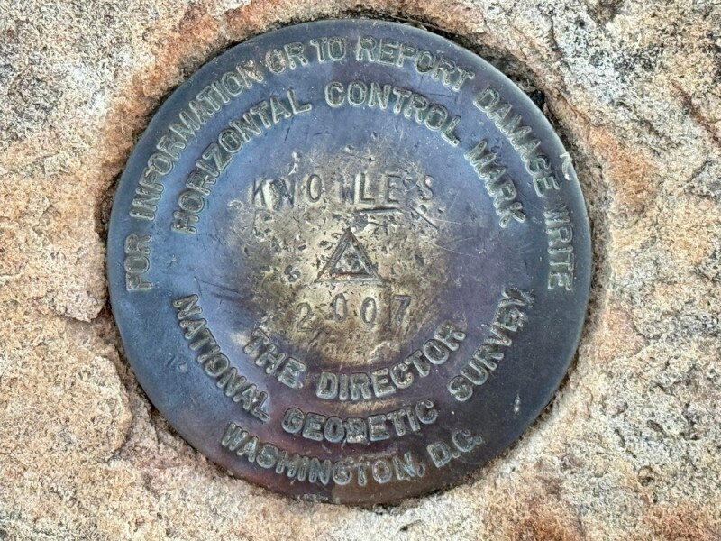
Geospatial professionals in all of the various industries that encompasses across the United States are gearing up for the modernization of the National Spatial Reference System (NSRS). This major shift in geospatial datums has been ongoing for years now, and as we start approaching the end of this massive rollout we have been covering this extensively at Geo Week News with cooperation from the National Geodetic Survey (NGS), the Geospatial Center for the Arctic and Pacific (GCAP), and others in the industry.
As part of our coverage, we’ve already looked at the modernization effort from a high level, while also zooming in specifically on the effort’s effect on bathymetric surveying as well as the core role GNSS technology plays in the efforts. Additionally, we spoke with Phil Gershkovich, who serves on the board of directors of the Management Association for Private Photogrammetric Surveyors (MAPPS), to get an industry perspective on these changes.
That conversation ended up dovetailing well with the latest conversation Geo Week News had on this beat, speaking with two Oregon State Professors heavily involved in the work being done at GCAP as part of their $6.5 million grant from NGS. As part of said grant, GCAP has a list of “tasks” they are completing to assist NGS in this modernization effort, and Dr. Chris Parrish and Dr. Michael Olsen – both professors of geomatics with Oregon State – are working on a task around evaluating and developing procedures for adopting the new datums in geospatial applications.
In a conversation with Geo Week News, Dr. Parrish and Dr. Olsen shared what they have been finding in this work, which involves a great deal of outreach to industry professionals. Through our discussion, the professors touched on some of the most important pieces of the modernization for professionals to know, the challenge of covering all potential applications, and initiatives to highlight the benefits of this effort.
In talking about one of the biggest questions they are getting in preparation for this change, Dr. Parrish points to some potential issues with geospatial software solutions that could arise if they aren’t addressed ahead of time. One of the big components of this modernization effort is around “time-dependent coordinates,” with coordinates having two epochs associated with them. This is a crucial piece of the effort – “As positioning has continued to get more and more accurate, we can no longer ignore the fact that coordinates are moving in time,” Dr. Parrish said – but it can also lead to some issues with the software.
“On the side of helping people prepare, we know that there are things in geospatial software and file formats that may break if we don’t address them now and get ahead of things that will happen through NSRS modernization,” Dr. Parrish told Geo Week News. “An example of that is that some of our software and file formats may not currently support time-dependent coordinates, which are a big part of [the modernization effort].”
This exemplifies why outreach and education is such a big part of this project, as simply being aware of what is going to change will be half the battle in ensuring smooth operations after the rollout. GCAP has been working with a number of industry groups, including one working group with ASPRS focused specifically around this NSRS modernization effort.
That outreach can be a major challenge when it comes to this effort, though, given the ever-increasing number of sectors that are utilizing spatial data for their workflows. There’s a ton of examples of ‘non-traditional' industries who will be affected by this, including, as Dr. Olsen points out, the autonomous vehicle sector.
“They don’t have a geomatic background. Their eyes glaze over when you start talking about these things, but it becomes critical in this application, especially when you start thinking about a vehicle crossing a state boundary, going from one real-time network to another,” Dr. Olsen said. “It really needs to be seamless for that kind of technology to work. Those people writing the code and programming the systems and testing them need to be aware of these things and really test it out.”
Despite all of the challenges that can arise from trying to do outreach and address applications across so many disparate industries, the group from GCAP clearly sees the benefits of this. Going back to the idea of these time-dependent coordinates, Dr. Erzhuo Che – an assistant professor at Oregon State – talked about the future-proofing this could provide.

“We accumulated massive amounts of data in the past, and we cannot go back in time to fix things and recollect that data,” he told Geo Week News. “While we cannot fix the data in the past, if we can advocate the proper way of reporting that data now, even if we have a new datum coming out in 20, 30, 50 years, we will still be able to come back to right now and still be okay because we are doing this future proofing.”
As part of this effort, the GCAP team wants to hear from the community about success stories already seen with these new datums (NGS has beta and alpha releases out now) or how people can see this being a benefit.
“One of the things we’re really focused on is what we’re calling our ‘NSRS modernization success stories,’ trying to capture these stories from across the geospatial industry with anybody who has examples of how the increased accuracy, data interoperability, and data sustainability enabled by the modernized NSRS and how it will help their work.”
Professionals with these success stories can reach out directly to Dr. Parrish, or through the ASPRS NSRS Working Group.
It is, of course, no small task trying to find procedures for this evolving NSRS in the wide swatch of geospatial applications around today, but Dr. Parrish points to real value in the effort.
“I think the geospatial community can greatly benefit from coming together and having a forum where we can discuss reference frames, geoid models, projects, coordinate transformations. These things can be tricky and can be done in a number of different ways. There can be inconsistencies, and I’m hoping this is a springboard to do multiple things – getting the industry ready for the new NSRS, and creating an outreach group that can keep these discussions going – simultaneously.”


