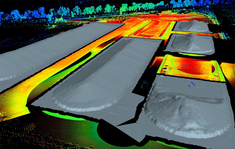
Maptek has released version 6.1 of their Maptek I-Site Studio tool for point-cloud processing. The software is designed for the mining, civil engineering, and surveying industries.
With the new tools, Maptek reports, users will be able to register laser scans to coordinate systems including mine grid coordinates. The process requires no custom transformations of data, users need only to import scans into the application and they will be ready for processing.
Other features include a function for taking a scan object or surface that is not already in a coordinate system, and retroactively defining it to a system to apply projections properly. Users can also change between systems by selecting a pre-defined grid coordinate system.
‘Once a scan is imported into I-Site Studio, querying the scan extents reveals the scanning route and labels the track. The route geometry can be saved as a CAD file,’ said said global business development manager laser imaging solutions, Jason Richards, in a prepared statement.
I-Site Studio 6.1 is available now.


