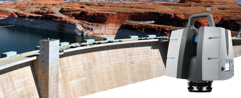
This week, Leica announced the release of a new ScanStation. The P50 combines the functionality of the P40 with a dramatically longer scan range, which Leica rates at more than 1 km.
The device gathers one million points per second and includes Leica’s angular accuracy, low range noise and survey-grade dual-axis compensation.
According to Leica, the P50 will expand the number of applications for the company’s terrestrial scanners, enabling users to scan previously impossible spaces and structures like big mine pits, long bridges, skyscrapers, and dams.
“Our customers have requested increased range so that they can capture tall structures and/or far away features without sacrificing the safety of their field crews,” said Mike Harvey, Leica Geosystems NAFTA HDS product and applications manager in an official statement. “During a recent deployment of the Leica P50 in an urban setting, the extended range allowed us to capture more of a city skyline in fewer setups.”
For more information, see Leica’s product page.


